Flat River Kayaking Adventure: Whites Bridge to Lowell
Sunshine out of Whites Bridge, a steady run past Fallasburg Park, a headwind fight in the dam backwater, one portage around the spillway — and a Wenonah canoe along for the run to Lowell.
Wild Rivers. Rugged Trails. Real Adventure.
Trip Overview: Kayaking the Flat River from Whites Bridge
On Monday, March 9, 2026, the West Michigan Kayaking Club paddled the Flat River from Whites Bridge, near Smyrna, downstream to Lowell. Brad De Young was joined by Tim Postma, Karen Standley, Gary Velazquez and Rick Trojanowski.
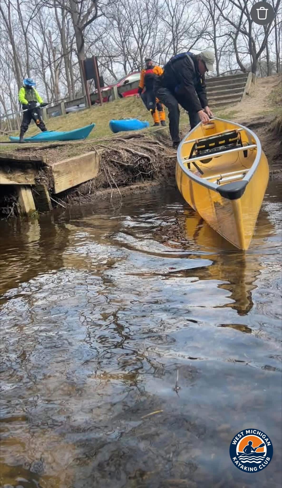
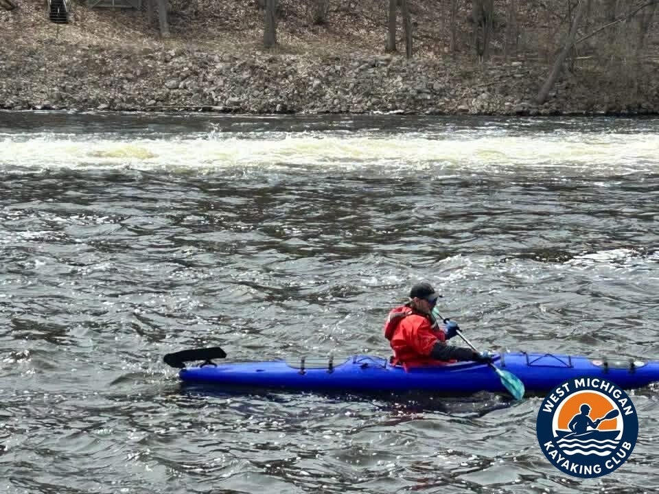
What a fantastic day for a club paddle. The sun was shining as the group launched from Whites Bridge and quickly settled into a steady pace, making its way past Fallasburg Park — and the group was especially honored to paddle alongside Rick Trojanowski and his super cool Wenonah canoe.
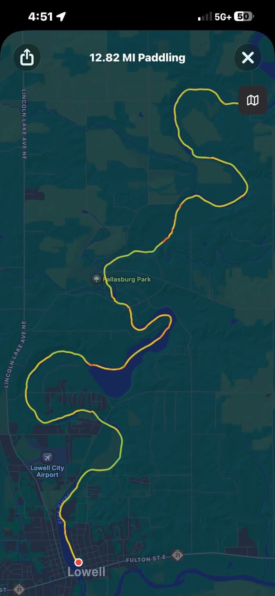
The day's mileage is a measured number, not an estimate: the GPS track recorded on the paddle measured 12.82 miles from Whites Bridge to Lowell, and that recorded track is the distance used throughout this report. The club's Flat River guide publishes no segment distance for this run — its nearest figure is about 15 miles for the longer Belding to Fallasburg Park trip.
1. The Put-In: Whites Bridge
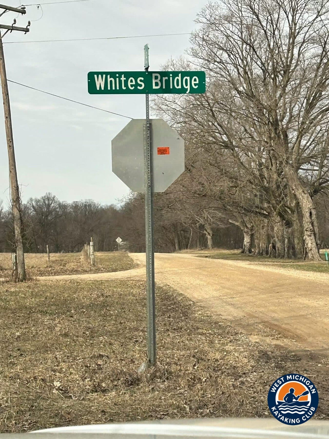
Location: Whites Bridge, near Smyrna, Michigan (Ionia County)
GPS: 42.9860, -85.0980 (club guide, approximate)
The club's Flat River guide lists the Whites Bridge launch as the kayak launch at the rebuilt covered bridge. The bridge itself is a landmark — once one of the oldest covered bridges of its kind in Michigan, it was destroyed by arson in 2013 and has since been rebuilt. The Whites Bridge Dam stands just upstream of the launch, so the group put in below it and started the day with open river ahead. The club guide names the Smyrna gage (USGS 04116500), upstream at Smyrna, as the river's primary gage.
2. The River Journey: Whites Bridge to Lowell
Below Whites Bridge the Flat River settles into the stretch the club guide calls the premier water on the river — the run from Greenville to Lowell, with moderate current, a wooded shoreline, and the river's two historic covered bridges, Whites Bridge and Fallasburg Bridge. The guide rates the river Class I, with small riffles and few obstructions. The group settled into a steady pace and made its way past Fallasburg Park, where the second covered bridge stands.
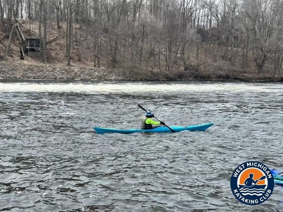
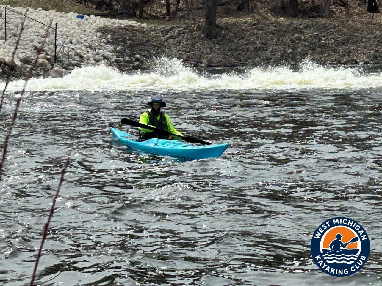
The day changed at the Fallasburg Dam. In the backwater behind the dam the current went slack, the slower water held the group up, and the headwind gave everyone a good fight — the recorded wind backs that up: it blew out of the south-southwest all day, square against a southbound run to Lowell.
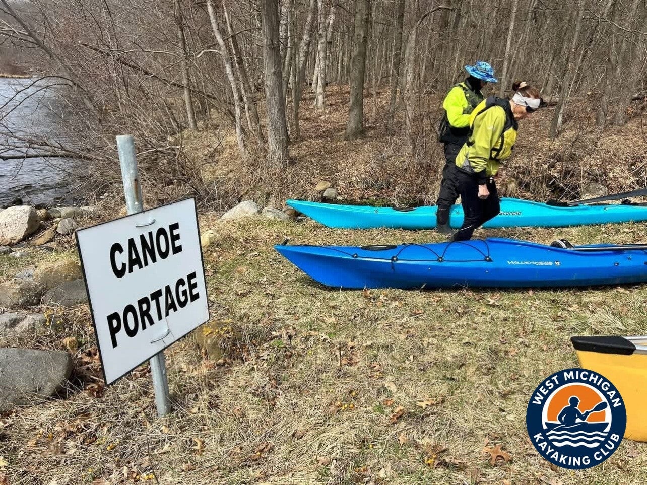
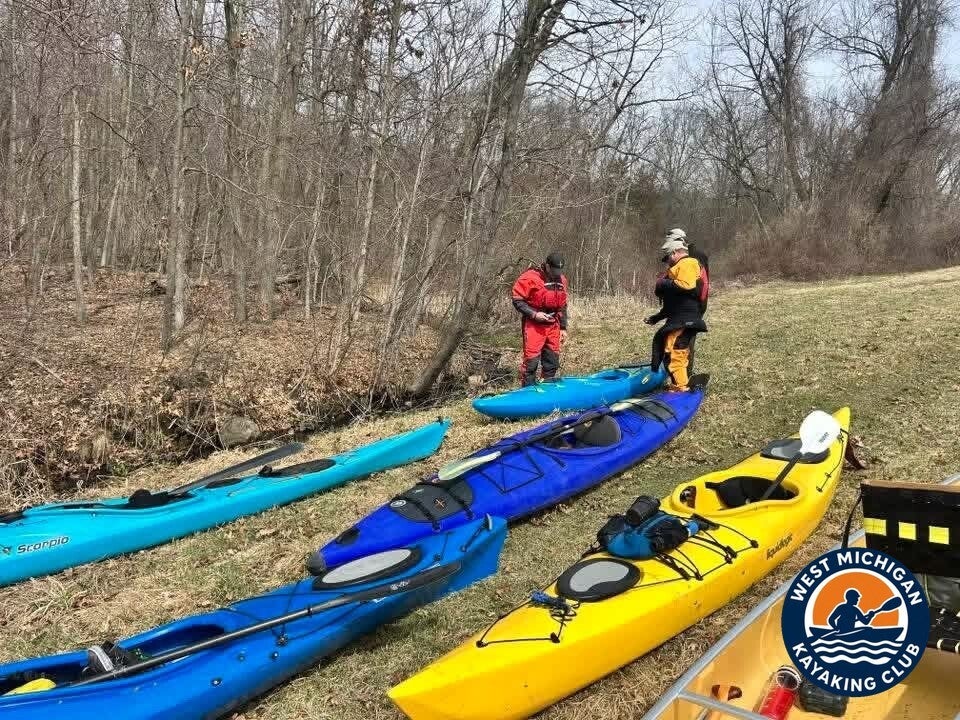
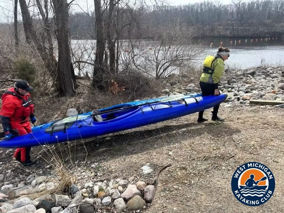
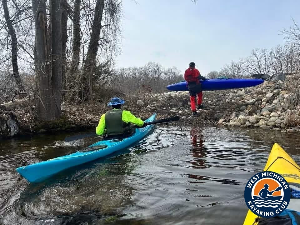
Then the one portage of the trip: around the dam's large spillway on the signed canoe portage, boats up on the grass and carried down to the rocky put-in below. Back on the water under the spillway, the group finished the run down to Lowell, where the Flat River meets the Grand River.
3. USGS River Flow and Water Conditions
Primary gauge: Flat River at Smyrna, MI — USGS 04116500
Drainage area at gauge: 528 square miles
Gauge data: USGS monitoring location 04116500
The Smyrna gage is the club guide's primary gage for the Flat River and the only USGS gage on this part of the river, upstream of the Whites Bridge put-in. Its recorder was running on the day of the trip — but it no longer measures discharge, and this report says so plainly rather than dressing up another number as the flow.
Recorded Readings for March 9, 2026
| Daily mean discharge (USGS, recorded) | [not available] — USGS publishes no discharge for this gage for 2026 |
|---|---|
| Gauge height (USGS, recorded) | 4.20–4.22 ft, steady through the day |
| Median daily flow for this date (USGS statistics) | 496 ft³/s (from the gage's historical daily record, 1951–1986) |
| Condition vs. normal | Not rated — no 2026 discharge record exists to compare |
USGS ran a daily discharge record at Smyrna from 1950 to 1986 and then ended it; the gage today records the river's height only. On March 9, 2026 that height held essentially flat at about 4.2 feet all day — a stable early-spring level, with no rise or fall during the paddle. The 496 ft³/s median above is what a typical March 9 carried on this river across the old record; it is context, not a reading for this trip, and no CFS for the day is claimed anywhere in this report.
4. Historical Weather Conditions in Lowell, Michigan
The nearest official National Weather Service observation station is Grand Rapids Gerald R. Ford International Airport (KGRR), about 10 miles west of Lowell — its automated records cover the full day of the trip.
| Temperature at meet time | 47°F (recorded 6:53 AM) |
|---|---|
| Afternoon high | 71°F |
| Sky / cloud cover | Sunshine with few to scattered clouds |
| Wind speed and direction | South-southwest at 12–18 mph, gusting to about 25 mph |
| Precipitation | None |
A remarkable March day: sunshine from the start, temperatures climbing from 47°F in the morning to a high of 71°F, and no rain. The one fight in it was the wind — recorded out of the south-southwest at 12–18 mph with gusts to about 25 mph. Paddling south toward Lowell, that is a headwind, and it was at its worst exactly where Brad's account puts it: on the open, slow backwater behind Fallasburg Dam.
5. The Take-Out: Lowell
Location: Lowell, Michigan (Kent County)
GPS: 42.9278, -85.3386 (club guide's Lowell point at the Grand River confluence, approximate)
The paddle ended in Lowell, 12.8 recorded miles below Whites Bridge. The club guide ends the Flat River here, where it joins the Grand River — and notes the King Milling Dam in Lowell as the last dam on the river, standing just above that confluence. After a March day that felt like spring had arrived early, the group came off the water already looking forward to the next paddle.
Technical Trip Information
| River | Flat River |
|---|---|
| Trip date | Monday, March 9, 2026 |
| Put-in | Whites Bridge launch, near Smyrna — 42.9860, -85.0980 (club guide, approximate) |
| Take-out | Lowell (downtown) — the Flat River ends at the Grand River confluence in Lowell, 42.9278, -85.3386 (club guide, approximate) |
| Distance | 12.8 miles — Brad's recorded GPS track measured 12.82 miles; the club guide publishes no segment distance for this run (its nearest figure is ~15 miles for Belding to Fallasburg Park) |
| River character | Class I, moderate current with small riffles (club guide) |
| Water conditions | Gauge height 4.20–4.22 ft at USGS 04116500 (Smyrna) on March 9, 2026; discharge [not available] — USGS publishes no discharge for this gage for 2026 |
| Portages / dams | 1 — Fallasburg Dam, around the large spillway on the signed portage. The launch sits below the Whites Bridge Dam at the put-in, and the King Milling Dam in Lowell stands just above the Grand River confluence (club guide) |
| Shuttle | Required (one-way downstream trip) |
| USGS gauge | 04116500 — Flat River at Smyrna, MI |
Safety and Equipment
Participants brought their own kayaks or canoes, paddles, properly fitted personal flotation devices, drinking water, food, weather-appropriate clothing, sunscreen, insect protection and dry bags. A 71°F afternoon does not warm the river: March water is cold water, so dress for immersion, not for the air temperature, and keep dry clothes sealed in a dry bag.
Dams are this river's standing hazard. The club guide counts five dams on the Flat River main stem — Greenville, Belding, Whites Bridge, Fallasburg and Lowell (King Milling) — and every one requires a portage; never approach a dam face or run a spillway. Strainers and deadfalls are common on the upper river, and the submerged remnants of the old Smyrna Dam, upstream of this stretch, remain a low-water hazard the DNR flags in the club guide.
More Than the Miles
It was a great time with even better friends. A sunny March Monday, a river running steady under two covered bridges, one good portage carry — and the group was especially honored to paddle alongside Rick Trojanowski and his super cool Wenonah canoe. Already looking forward to the next paddle — see you on the water, and thanks to everyone who came out.
Trip Recap
- 12.8 miles from Whites Bridge to Lowell — a recorded GPS track of 12.82 miles
- Sunshine and a high of 71°F, with a south-southwest headwind to fight in the Fallasburg backwater
- One portage: around the Fallasburg Dam spillway on the signed carry
- River level steady all day — gauge height held at 4.20–4.22 ft at the Smyrna gage
- Rick Trojanowski and his Wenonah canoe along for the run
Thank you to Tim, Karen, Gary and Rick for a fantastic day on the Flat River.
More Than Just a Kayaking Club
West Michigan Kayaking Club brings together active paddlers who love exploring Michigan's rivers, lakes, trails and wilderness areas. Our adventures range from day paddles to extended river expeditions, hiking, camping, backpacking and multi-day outdoor experiences.
We believe in getting beyond the familiar launch sites, discovering new waterways and making the most of Michigan's incredible natural resources. We aren't here just to drift downstream. We're here to explore, challenge ourselves and discover what's around the next bend.
Come Paddle With Us
Looking for Michigan kayaking trips with people who actually paddle? Membership and all club events are free.
Wild Rivers. Rugged Trails. Real Adventure.
Sources
U.S. Geological Survey, Flat River at Smyrna, MI (USGS 04116500), gage-height records and daily streamflow statistics. National Weather Service Grand Rapids, KGRR (Grand Rapids Gerald R. Ford International Airport) observation data for March 2026, via Iowa State University IEM. West Michigan Kayaking Club, Flat River guide — launches, dams, covered bridges and river character.