Shiawassee River Kayaking Adventure: Owosso Canoe/Kayak Launch to Ditch Road
16.5 miles of fast water and fun rapids on the Shiawassee River — sunshine all day, the wind at our backs, a Class II rapid to finish, and burgers on the grill at the take-out.
Wild Rivers. Rugged Trails. Real Adventure.
Trip Overview: Kayaking the Shiawassee River from Owosso
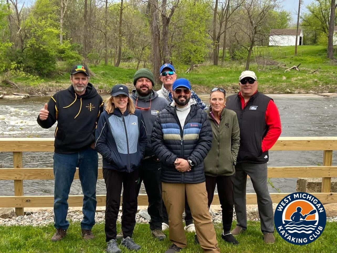
On Sunday, May 3, 2026, the West Michigan Kayaking Club paddled 16.5 miles of the Shiawassee River, launching from the Owosso Canoe/Kayak Launch and taking out at Ditch Road. Brad De Young was joined by Jane Simon, Tim Postma, Gary Velazquez, Karen Standley and Jeramie James.
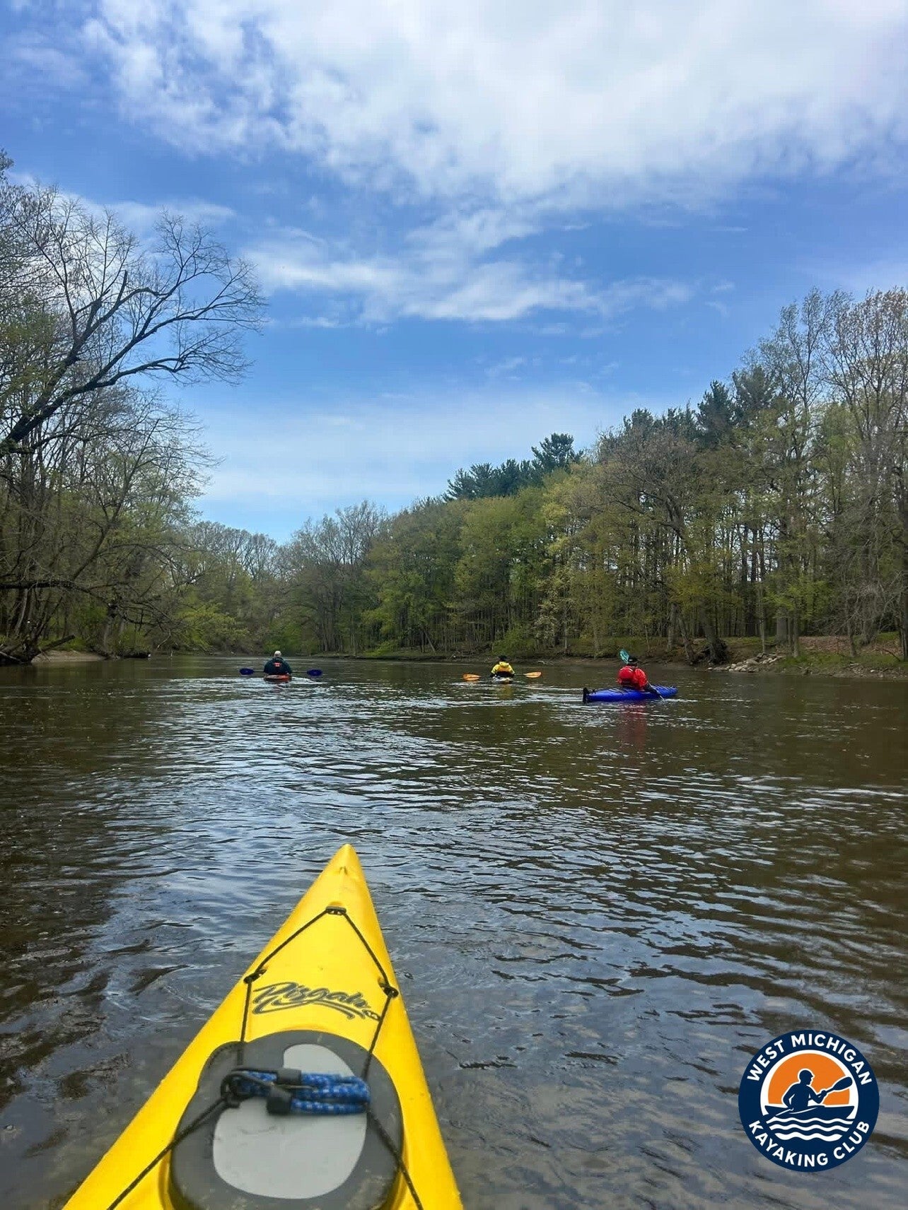
Another epic adventure with the West Michigan Kayaking Club — a perfect day on the beautiful Shiawassee River. The sun was shining, the weather was fantastic, and the wind stayed at our backs all day long.
The river was moving fast, with great flows and fun rapids throughout the entire trip — and the paddle finished with an awesome Class II rapid to cap off the adventure.
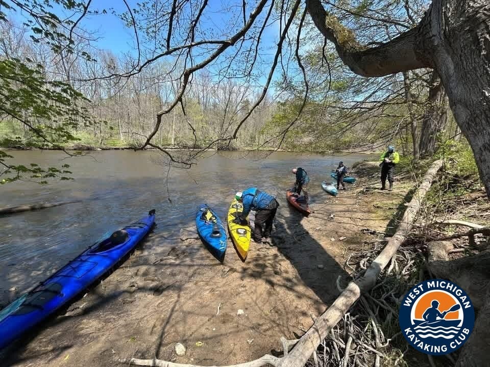
1. The Put-In: Owosso Canoe/Kayak Launch
Location: Owosso, Michigan (Shiawassee County)
GPS: not published in the club guide for this access
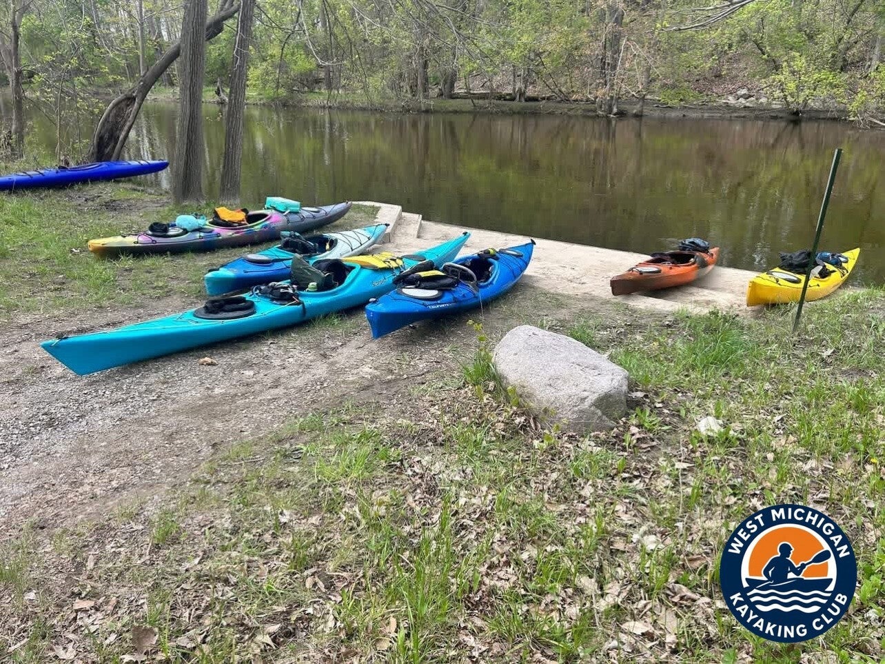
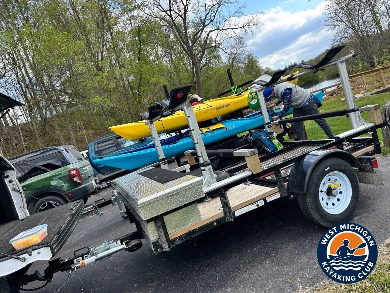
The club's Shiawassee River guide lists city launches at Corunna and Owosso along the restored river — the Corunna and Shiatown dams both came out in 2019, and the river through town now runs free. The USGS gage at Owosso (04144500) sits right here, so the day's recorded flow comes from the same water the group launched into. With a one-way downstream route ahead, vehicles and the kayak trailer were staged at the take-out at Ditch Road.
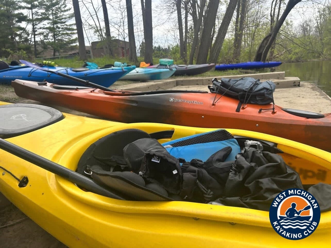
2. The River Journey: Owosso to Ditch Road
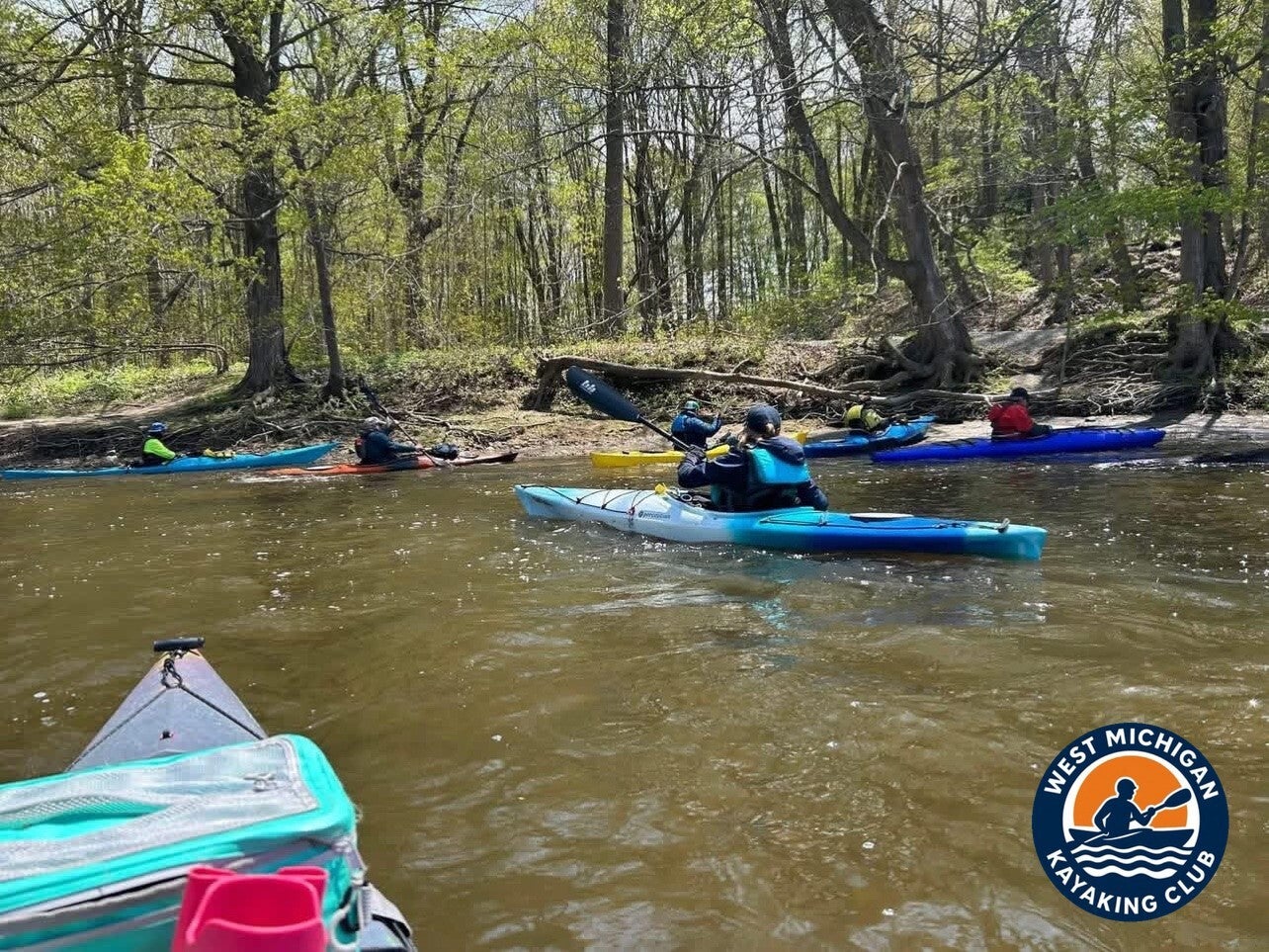
Below Owosso the Shiawassee runs wide through farmland and woods on its way toward Chesaning. The club guide rates the river Class I throughout, with small riffles and a few short rapids — but on May 3 the river had spring in it. Running at 616 cubic feet per second at the Owosso gage, well above the early-May median, it moved fast all day, with fun rapids throughout the entire 16.5 miles.
The recorded weather backed up the day's feel: sunshine, temperatures climbing into the mid-60s, and a southwest wind — at the group's backs on this downstream run, just as Brad's account says.
The finish saved the best water for last. The club guide notes the Ditch Road rapids near Parshallburg, and that is where the trip came off the river — through an awesome Class II rapid that capped off the adventure.
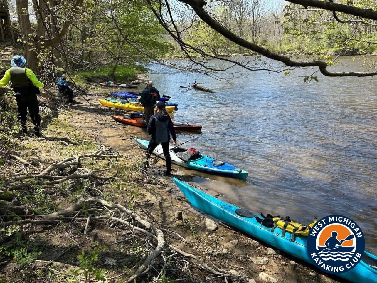
3. USGS River Flow and Water Conditions
Primary gauge: Shiawassee River at Owosso, MI — USGS 04144500
Drainage area at gauge: 538 square miles
Gauge data: USGS monitoring location 04144500
The Owosso gage sits at the put-in, so these recorded values describe the very water paddled that day.
Recorded Readings for May 3, 2026
| Daily mean discharge (USGS, recorded) | 616 ft³/s |
|---|---|
| Gauge height (USGS, recorded) | not reported |
| Median daily flow for this date (USGS statistics) | 462 ft³/s |
| Condition vs. normal | Above the median for this date |
The river was running strong for early May — the day's 616 ft³/s daily mean sits well above the 462 ft³/s median for May 3 in the Owosso gage record (1931–2026). That extra water is exactly what the group felt: a fast ride with rapids that kept their shape all the way to Ditch Road.
4. Historical Weather Conditions in Owosso, Michigan
The nearest official observation station is Owosso Community Airport (KRNP), right in Owosso — its automated records cover the full day of the trip.
| Temperature at meet time | 40°F (recorded 6:55 AM) |
|---|---|
| Afternoon high | 64°F |
| Sky / cloud cover | Clear early, then sunshine with scattered to broken clouds |
| Wind speed and direction | Southwest at 6–22 mph |
| Precipitation | None |
A perfect May day, just as the group remembers it: a cool start around 40°F, warming to 64°F by afternoon under a bright sky, with no rain. The recorded southwest wind matches the day's story — it stayed at the paddlers' backs for the downstream run to Ditch Road.
5. The Take-Out: Ditch Road
Location: Ditch Road, near Parshallburg, Michigan
GPS: not published in the club guide for this access
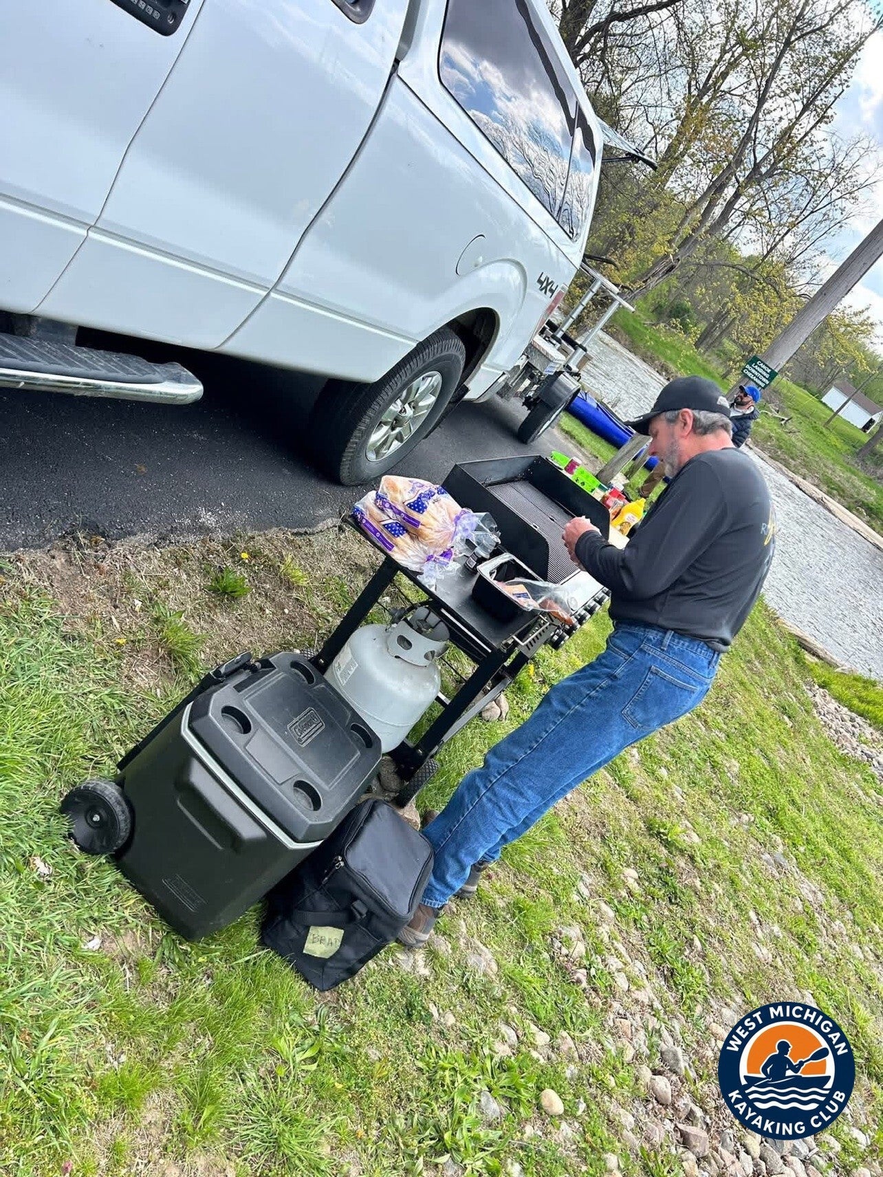
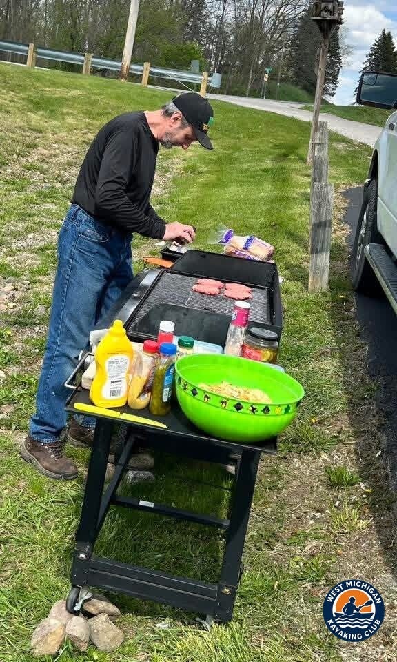
The club guide places the Ditch Road rapids near Parshallburg, and the take-out sits at the end of them — 16.5 miles below Owosso. After the last rapid, the boats came off the water, the trailer got loaded, and the day finished the way every good club day should: Gary fired up the grill at the take-out and made delicious burgers for the group.
Technical Trip Information
| River | Shiawassee River |
|---|---|
| Trip date | Sunday, May 3, 2026 |
| Put-in | Owosso Canoe/Kayak Launch, Owosso |
| Take-out | Ditch Road, near Parshallburg |
| Distance | 16.5 miles |
| River character | Class I with riffles and short rapids (club guide); the run finishes at the Ditch Road rapids, an awesome Class II finish on this day's flows |
| Water conditions | 616 ft³/s daily mean at USGS 04144500 (Owosso) — above the May 3 median of 462 ft³/s |
| Portages / dams | 0 — no portage on this segment; the river's remaining dam portages (Fenton, Linden, Byron) are all in the upstream headwaters, and the Corunna and Shiatown dams were removed in 2019 (club guide) |
| Shuttle | Required (one-way downstream trip) |
| USGS gauge | 04144500 — Shiawassee River at Owosso, MI |
Safety and Equipment
Participants brought their own kayaks or canoes, paddles, properly fitted personal flotation devices, drinking water, food, weather-appropriate clothing, sunscreen, insect protection and dry bags.
Fast spring water changes the day: riffles and rapids that are gentle at summer levels deserve a scout and a clean line at higher flows. Wood is a standing hazard on this river — scout every log, never run a strainer, and portage when you are unsure. Never run a dam: several dams remain on the upper Shiawassee (Fenton, Linden, Byron), all upstream of this segment — take out at the signed portages, as the club guide directs.
More Than the Miles
This was easily one of the best trips the club has had so far — great people, perfect conditions, fast water, and unforgettable memories on one of Michigan's beautiful rivers. Sixteen and a half miles of it: sunshine from launch to take-out, a tailwind the whole way, rapids that never let the day go quiet, and burgers waiting at the end of it.
Trip Recap
- 16.5 miles from the Owosso Canoe/Kayak Launch to Ditch Road
- Recorded flow of 616 cfs at the Owosso gage — well above the early-May median
- Fun rapids throughout, finished with a Class II rapid at Ditch Road
- Sunshine, a high of 64°F, and a southwest wind at the group's backs all day
- Gary Velazquez on the grill at the take-out — burgers for the whole group
Thank you to Jane, Tim, Gary, Karen and Jeramie for a day that set the bar for the season.
More Than Just a Kayaking Club
West Michigan Kayaking Club brings together active paddlers who love exploring Michigan's rivers, lakes, trails and wilderness areas. Our adventures range from day paddles to extended river expeditions, hiking, camping, backpacking and multi-day outdoor experiences.
We believe in getting beyond the familiar launch sites, discovering new waterways and making the most of Michigan's incredible natural resources. We aren't here just to drift downstream. We're here to explore, challenge ourselves and discover what's around the next bend.
Come Paddle With Us
Looking for Michigan kayaking trips with people who actually paddle? Membership and all club events are free.
Wild Rivers. Rugged Trails. Real Adventure.
Sources
U.S. Geological Survey, Shiawassee River at Owosso, MI (USGS 04144500), streamflow records and daily statistics. Owosso Community Airport (KRNP) automated weather observation records for May 2026, via Iowa State University IEM. West Michigan Kayaking Club, Shiawassee River guide — launches, dams and river character.