Muskegon River Kayaking Adventure: Maple Island Boat Launch to Pere Marquette Park
About 22 miles down the lower Muskegon River, across Muskegon Lake and out the channel to a Lake Michigan finish — Part 10, the final leg of the club's 10-part Muskegon River series.
Wild Rivers. Rugged Trails. Real Adventure.
Trip Overview: Kayaking the Muskegon River from Maple Island
On Sunday, November 15, 2026, the West Michigan Kayaking Club paddled approximately 22 miles of the Muskegon River and its Lake Michigan mouth, traveling downstream from the Maple Island boat launch to Pere Marquette Park in Muskegon, Michigan. Four club paddlers made the trip: Brad De Young and three fellow club paddlers.
This was Part 10 — the final leg of the club's 10-part Muskegon River series. Paddling the river in sections, the club worked its way from the headwaters north of Houghton Lake all the way to Lake Michigan, roughly 220 miles of river in all. Part 10 covers the last of it: river miles 197.8 to 219.97 on the club's Muskegon River map, from the Maple Island launch to the finish at Pere Marquette Park.
The final stretch is really four paddles in one. It starts on the quiet, reed-lined lower river, opens into the wide crossing of Muskegon Lake with the city skyline ahead, funnels into the Muskegon channel past the USS Silversides museum submarine, and finishes with a push out past the pierhead lighthouse into Lake Michigan and a landing on the sand at Pere Marquette Park.
Twenty-two miles in mid-November is a full, active day of paddling. The morning started below freezing, the big-water legs asked for steady effort and attention to the wind, and the group finished at dusk. This is a sea-kayak day, not a short casual outing — and that is exactly what made it the right way to close out the river.
1. The Put-In: Maple Island Boat Launch
Location: Maple Island boat launch, near Muskegon, Michigan
GPS: 43.318397, -86.033468
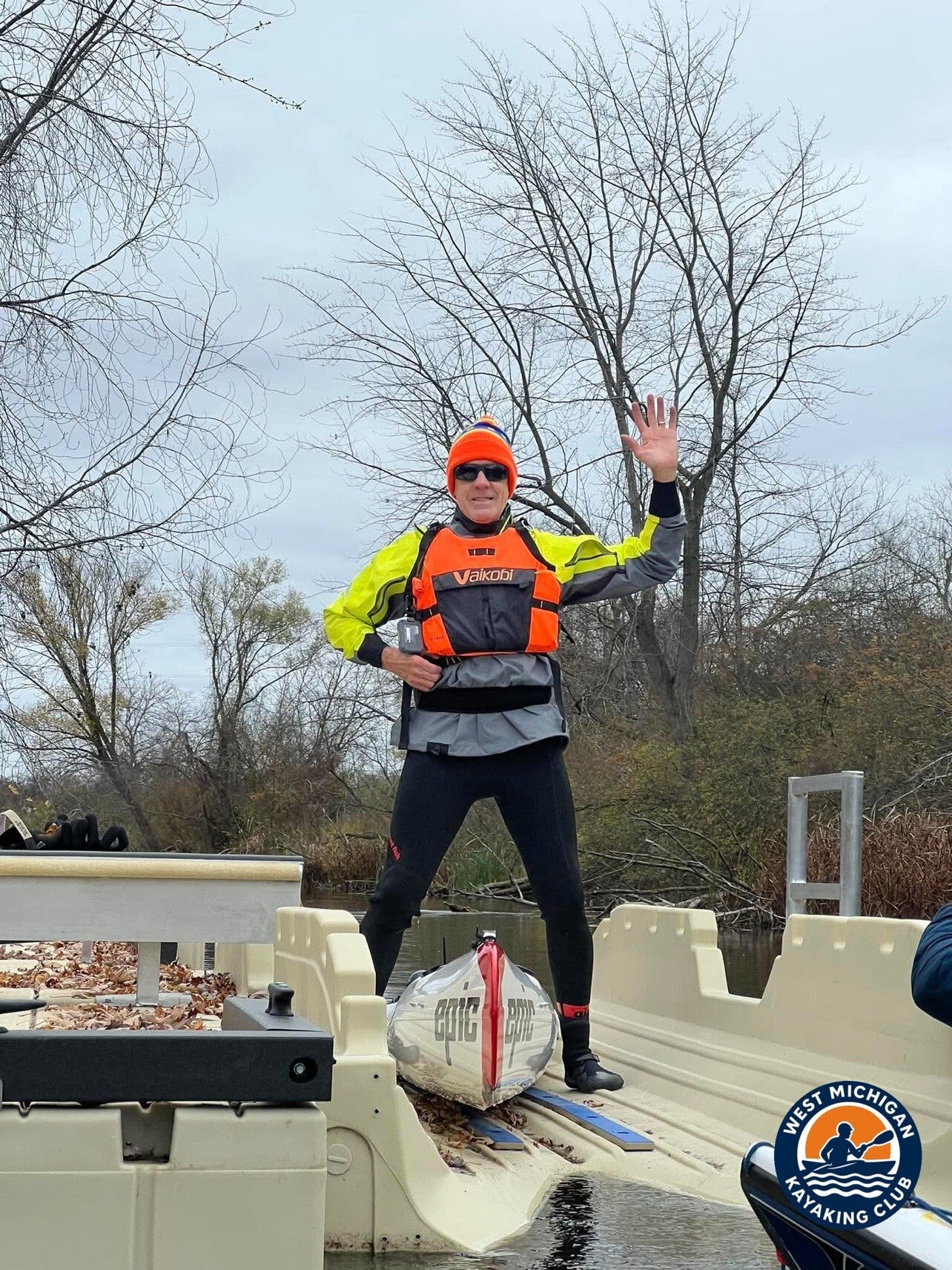
The group gathered at the Maple Island boat launch, which serves the lower river with a dock and an EZ Dock launch ramp — an easy, dry way to get sea kayaks and a surf ski on the water. Boats were staged on the ramp, gear was checked, and the group dressed for a cold November morning: insulating layers and paddle jackets, with the day's low of 29°F recorded at Muskegon before sunrise.
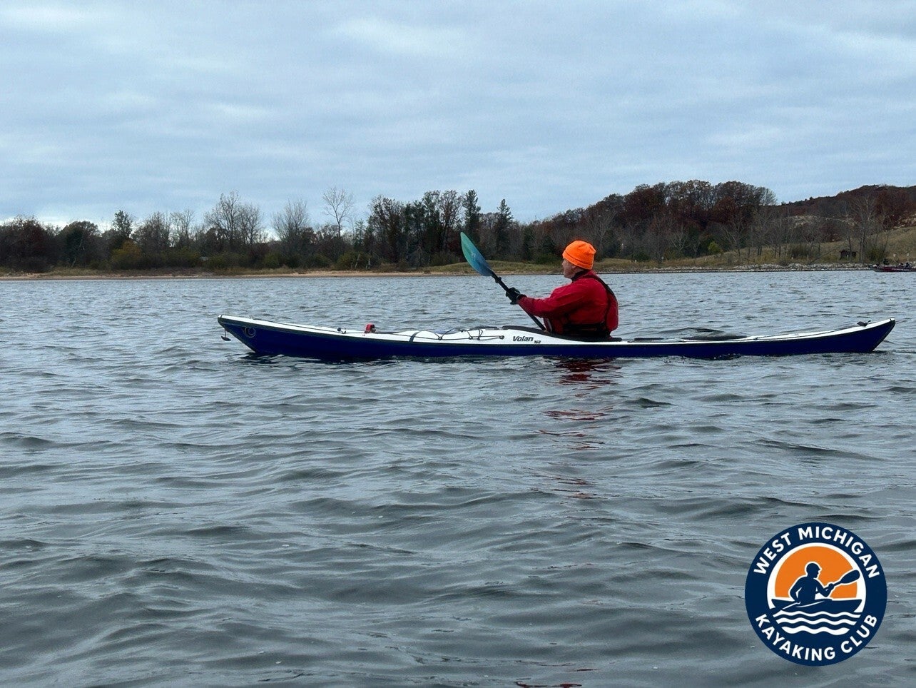
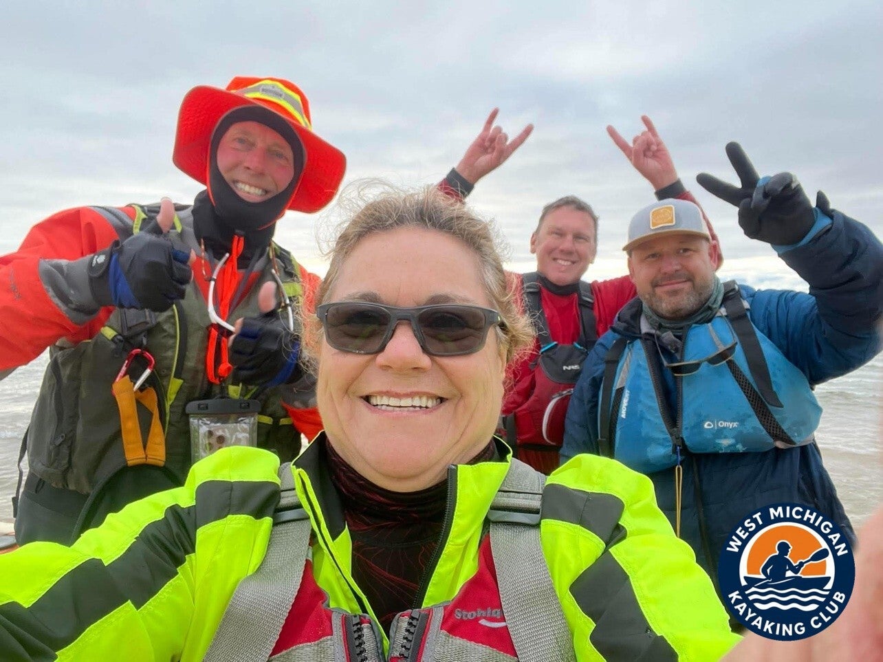
November 15 was also opening day of Michigan's firearm deer season, so the group paddled in blaze orange and high-visibility colors — orange hats and bright jackets that show up in nearly every photo from the day. On a gray late-fall morning, being easy to see is part of the plan.
Because the route is point to point, vehicles were staged at the finish at Pere Marquette Park before the launch, so the group could paddle one way, downstream and downwind of the day, and finish at the cars.
2. The River Journey: Maple Island Boat Launch to Pere Marquette Park
The Lower River: Reeds and Quiet Water
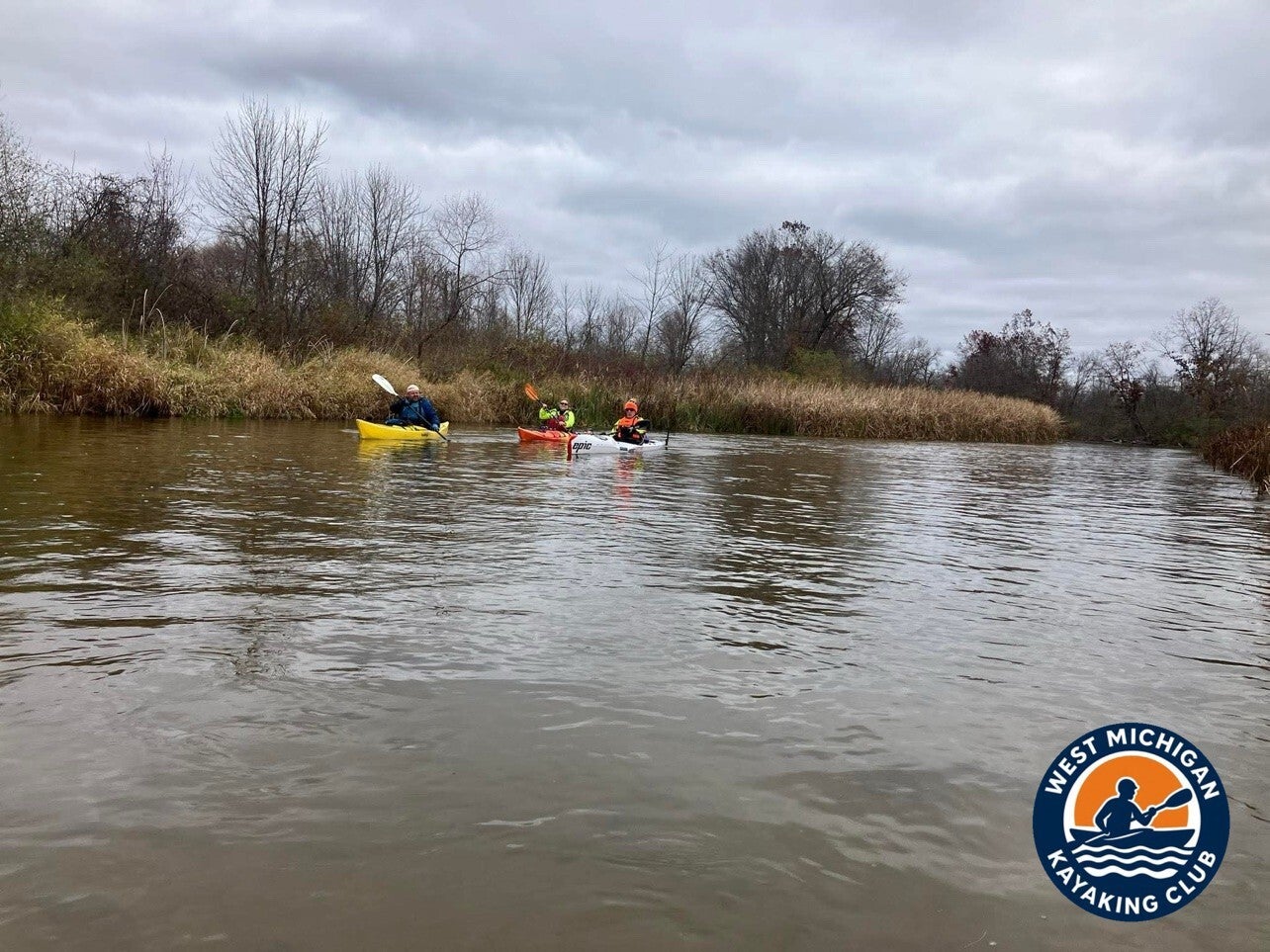
Below Maple Island, the lower Muskegon is a wide, slow river. The banks close in with tall reeds and late-fall brush, the trees stand bare, and the water runs calm and tea-colored under a gray sky. There are no rapids down here and nothing to portage — the challenge of this leg is distance, not obstacles. The group spread out across the channel, settled into a steady rhythm, and let the miles tick by, three kayaks and a surf ski moving through some of the quietest water on the whole river.
Muskegon Lake: The Big Crossing
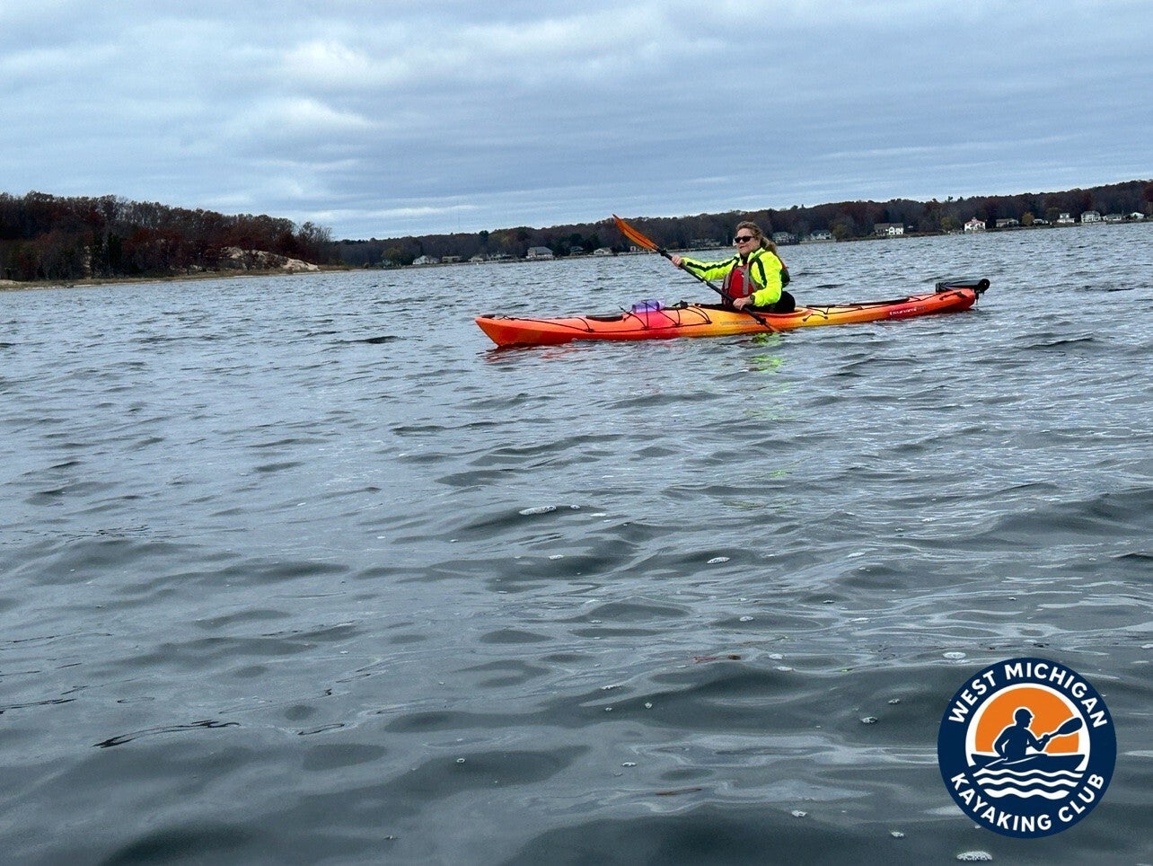
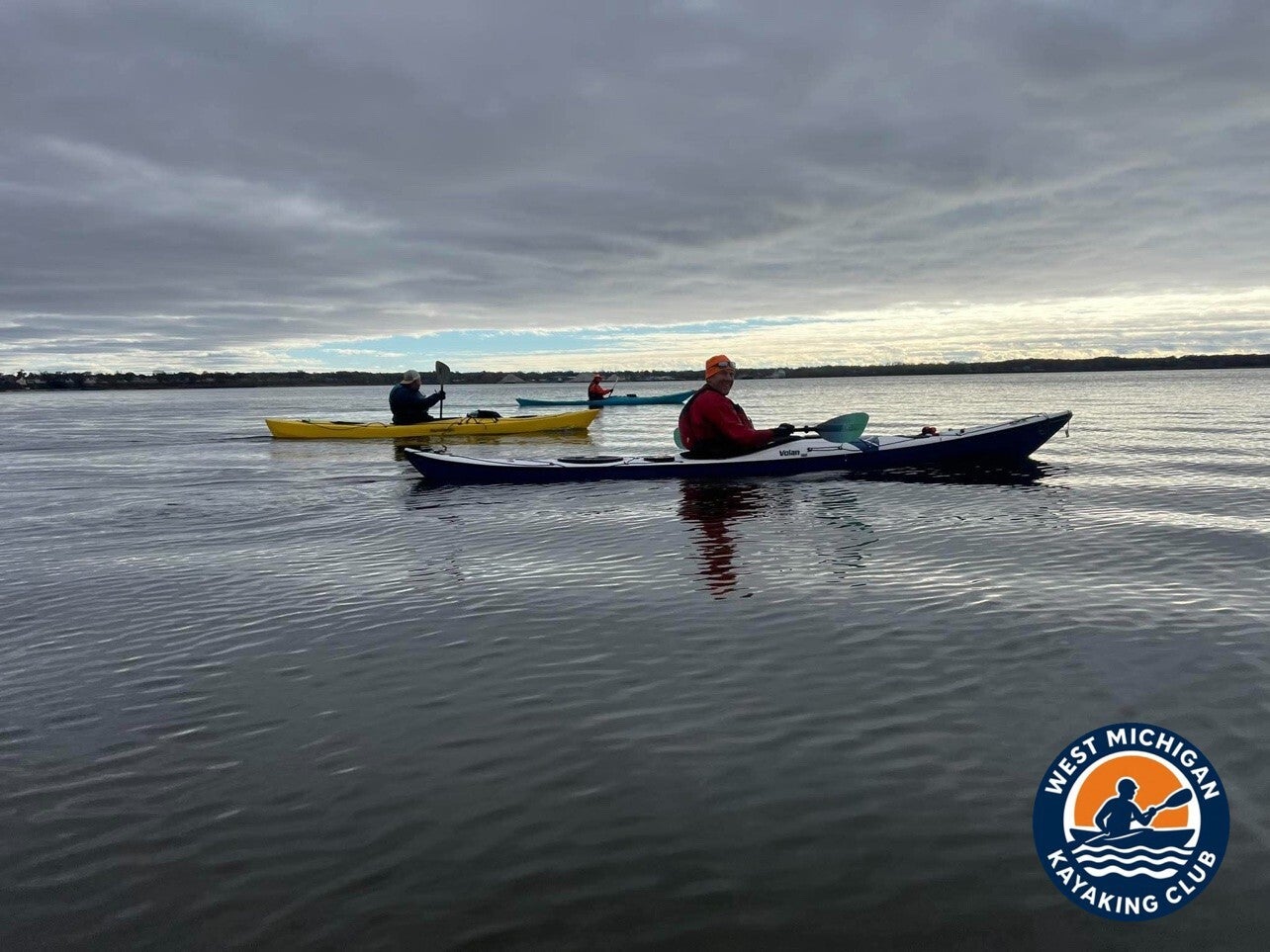
Then the river gives way to Muskegon Lake, and the paddle changes character completely. The shoreline falls away, the fetch opens up, and the Muskegon skyline stands across the water as the mark to steer for. Winds recorded at Muskegon that day were from the north-northwest, topping out at 10 mph with gusts to 17 mph late in the morning — enough to put a small chop on the lake for the crossing. The sea kayaks earned their keep here. By afternoon the wind eased, and the late-day photos show the lake gone glassy, the boats spread out on flat water under a heavy sky.
The Channel and the Silversides
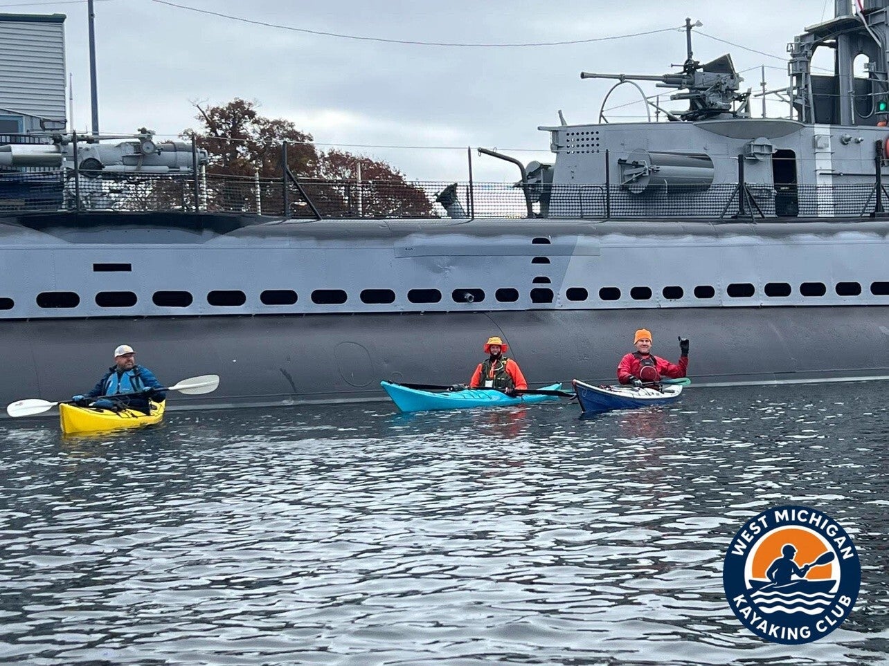
At the west end of Muskegon Lake the route funnels into the Muskegon channel, and the day's landmark waits there: the USS Silversides (SS-236), the World War II museum submarine moored in the channel. The group rafted up beside her gray hull for a photo — three kayaks against 312 feet of submarine — before continuing down the channel between the breakwalls toward the lake.
Out the Pier: Lake Michigan and the Finish
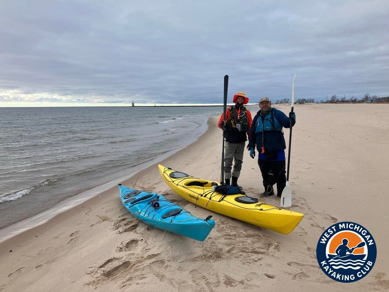
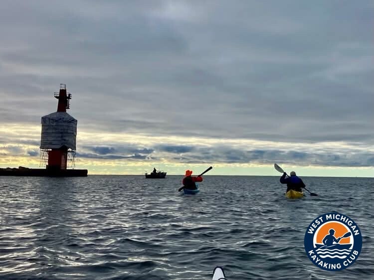
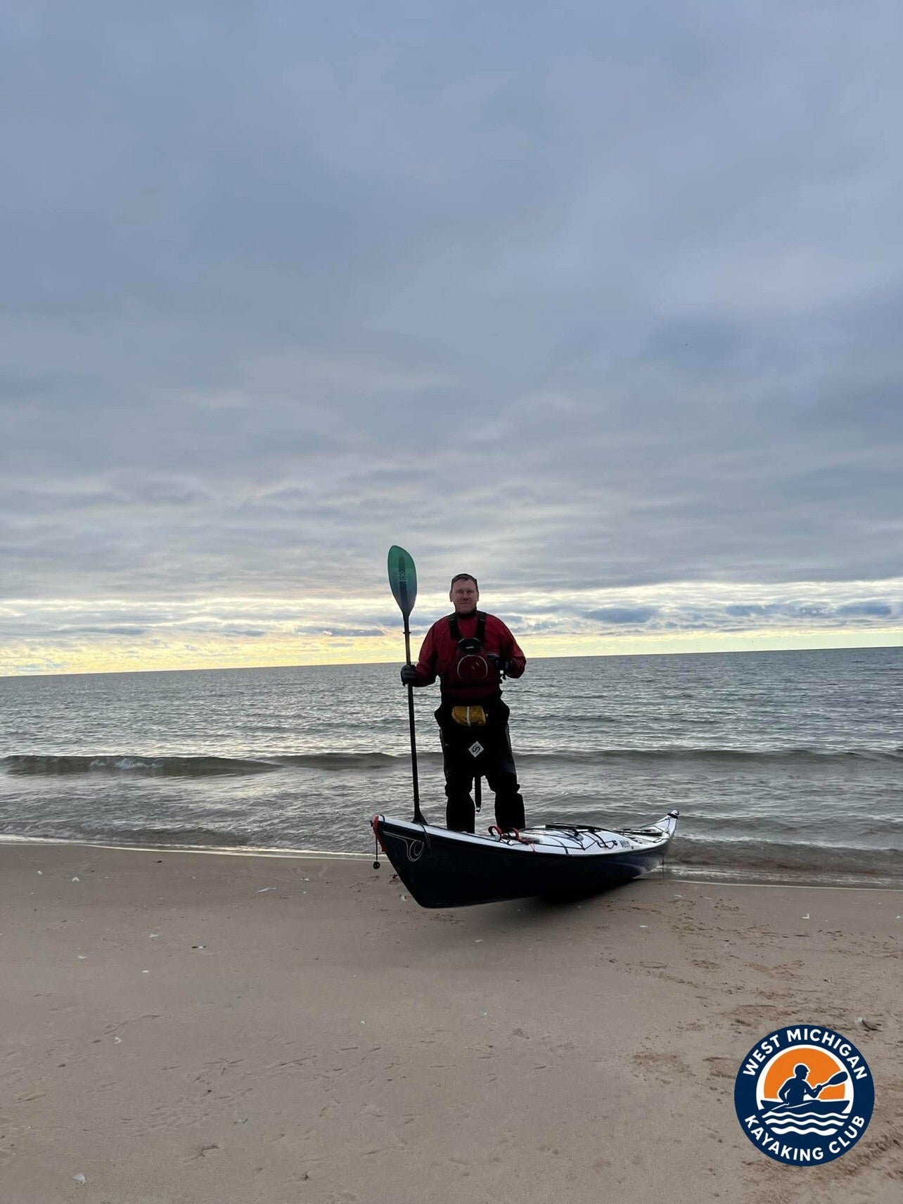
The channel delivers you to the pierheads, and the Muskegon South Pierhead Light — wrapped in white covering for restoration work — marks the way out into Lake Michigan. The group paddled out past the light, turned for the beach at Pere Marquette Park, and landed on the sand. Sunset that evening was 5:20 PM, and the finish photos are dusk photos: boats on the beach, the light fading over the big lake, and four paddlers with the whole river behind them.
3. USGS River Flow and Water Conditions
Primary gauge: Muskegon River at Evart, MI — USGS 04121500
Drainage area at gauge: [not available]
Gauge data: USGS monitoring location 04121500
The USGS station nearest the take-out, Muskegon River at Muskegon (USGS 04122000), does not publish a daily discharge value, so the recorded flow below is the daily mean from the Evart gauge, the nearest upstream gauge on the Muskegon River that reports discharge.
Recorded Readings for November 15, 2026
| Daily mean discharge (USGS, recorded) | 683 ft³/s (provisional) |
|---|---|
| Gauge height (USGS, recorded) | [not available] |
| Median daily flow for this date (USGS statistics) | [not available] |
| Condition vs. normal | [not available] |
The recorded daily mean discharge at Evart for November 15, 2026 was 683 cubic feet per second. On the water, the lower river below Maple Island ran with a gentle, steady current, and conditions on Muskegon Lake and in the channel were shaped far more by the day's north-northwest wind than by river flow.
4. Historical Weather Conditions in Muskegon, Michigan
Weather observations below were recorded at Muskegon County Airport (KMKG), the official National Weather Service observation station in Muskegon, and archived by the Iowa State University IEM ASOS service.
| Day's high temperature | 47°F |
|---|---|
| Day's low temperature | 29°F |
| Wind speed and direction | North-northwest; sustained to 10 mph, gusts to 17 mph (recorded 9 kt, gusting 15 kt), easing through the afternoon |
| Sky / cloud cover | Mostly cloudy — scattered clouds early, building to broken and overcast skies by afternoon |
| Precipitation | None recorded |
| Sunset | 5:20 PM ET |
It was a cold, dry, gray November day — classic late-fall paddling weather on the lakeshore. The temperature bottomed out at 29°F before sunrise and climbed to a high of 47°F in the early afternoon. No precipitation was recorded at Muskegon all day. The north-northwest wind put a chop on Muskegon Lake late in the morning, then laid down through the afternoon, and the group came off the water at Pere Marquette Park right around the 5:20 PM sunset.
5. The Take-Out: Pere Marquette Park
Location: Pere Marquette Park, Muskegon, Michigan
GPS: 43.2189, -86.3462
The trip ended the way a river-long series should: on the Lake Michigan beach at Pere Marquette Park, past the channel mouth where the trip's final yards ran out. The group landed through the small shore break, hauled the boats up onto the sand, and took the finish photos in the last of the light — about 22 miles from the Maple Island launch, and roughly 220 miles from where the series started near the headwaters north of Houghton Lake.
Technical Trip Information
| River | Muskegon River |
|---|---|
| Trip date | Sunday, November 15, 2026 |
| Put-in | Maple Island boat launch, near Muskegon — GPS 43.318397, -86.033468 |
| Take-out | Pere Marquette Park, Muskegon — 43.2189, -86.3462 |
| Distance | About 22 miles (river miles 197.8 to 219.97) |
| Water conditions | Recorded daily mean flow of 683 ft³/s at USGS 04121500 (Evart); dry and mostly cloudy, north-northwest winds to 10 mph on Muskegon Lake |
| Portages / dams | None on this route |
| Shuttle | Required — point to point, vehicles staged at Pere Marquette Park |
| USGS gauge | 04121500 — Muskegon River at Evart, MI |
Safety and Equipment
Participants brought their own kayaks or canoes, paddles, properly fitted personal flotation devices, drinking water, food, weather-appropriate clothing, sunscreen, insect protection and dry bags.
For this trip, cold was the main consideration: the day started below freezing and never got out of the 40s, so the group wore insulating layers and paddle jackets suited to cold air and cold water, and sea kayaks for the Muskegon Lake crossing and the Lake Michigan finish. Because November 15 was opening day of Michigan's firearm deer season, the group also wore blaze orange and high-visibility colors on the river and at the launches.
More Than the Miles
Part 10 was one day of paddling, but it closed out something much bigger. Ten parts, section by section, the club paddled the Muskegon River from the headwaters north of Houghton Lake to the Lake Michigan surf — roughly 220 miles of river, finished on a cold, gray November day by four paddlers who launched at Maple Island in the morning and stood on the beach at Pere Marquette Park at dusk. Rivers this size are usually something you paddle pieces of. This group paddled all of it.
Trip Recap
- About 22 miles from the Maple Island boat launch to Pere Marquette Park, Muskegon
- Part 10 — the final leg of the club's 10-part Muskegon River series, completing roughly 220 miles from the headwaters north of Houghton Lake to Lake Michigan
- Recorded daily mean flow of 683 ft³/s at USGS 04121500 (Evart, MI)
- Cold, dry and mostly cloudy: 29°F low, 47°F high, north-northwest winds to 10 mph, no precipitation recorded
- Blaze orange worn for opening day of Michigan's firearm deer season
- 4 paddlers on the water, finishing at dusk (sunset 5:20 PM ET)
Thank you to every member who showed up ready to paddle, and to everyone who helped run the shuttle and take the photos that tell the story.
This paddle was the final section of the club's complete Muskegon River expedition. Read the full story: Muskegon River Adventure — 226 Miles
More Than Just a Kayaking Club
West Michigan Kayaking Club brings together active paddlers who love exploring Michigan's rivers, lakes, trails and wilderness areas. Our adventures range from day paddles to extended river expeditions, hiking, camping, backpacking and multi-day outdoor experiences.
We believe in getting beyond the familiar launch sites, discovering new waterways and making the most of Michigan's incredible natural resources. We aren't here just to drift downstream. We're here to explore, challenge ourselves and discover what's around the next bend.
Come Paddle With Us
Looking for Michigan kayaking trips with people who actually paddle? Membership and all club events are free.
Wild Rivers. Rugged Trails. Real Adventure.
Sources
U.S. Geological Survey, Muskegon River at Evart, MI (USGS 04121500), daily streamflow record for November 15, 2026 (provisional). National Weather Service observations at Muskegon County Airport (KMKG) for November 15, 2026, via the Iowa State University IEM ASOS archive. Sunset time for Muskegon, Michigan, November 15, 2026.