Thornapple River Kayaking Adventure: Tyden Park to McCann Road
An 11.6-mile late-fall paddle from Hastings to Irving -- most of the leaves down, the evergreens still carrying the color, and bald eagles and blue herons along the way.
Wild Rivers. Rugged Trails. Real Adventure.
Trip Overview: Kayaking the Thornapple River from Hastings
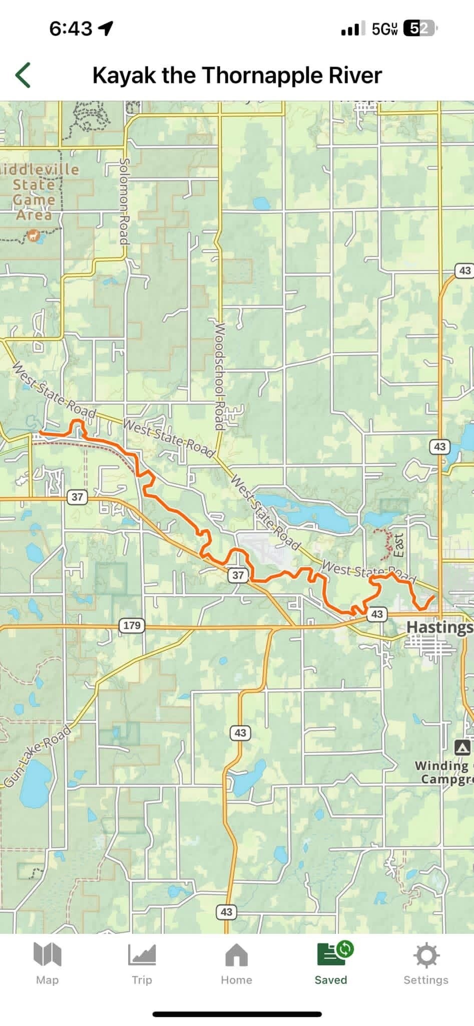
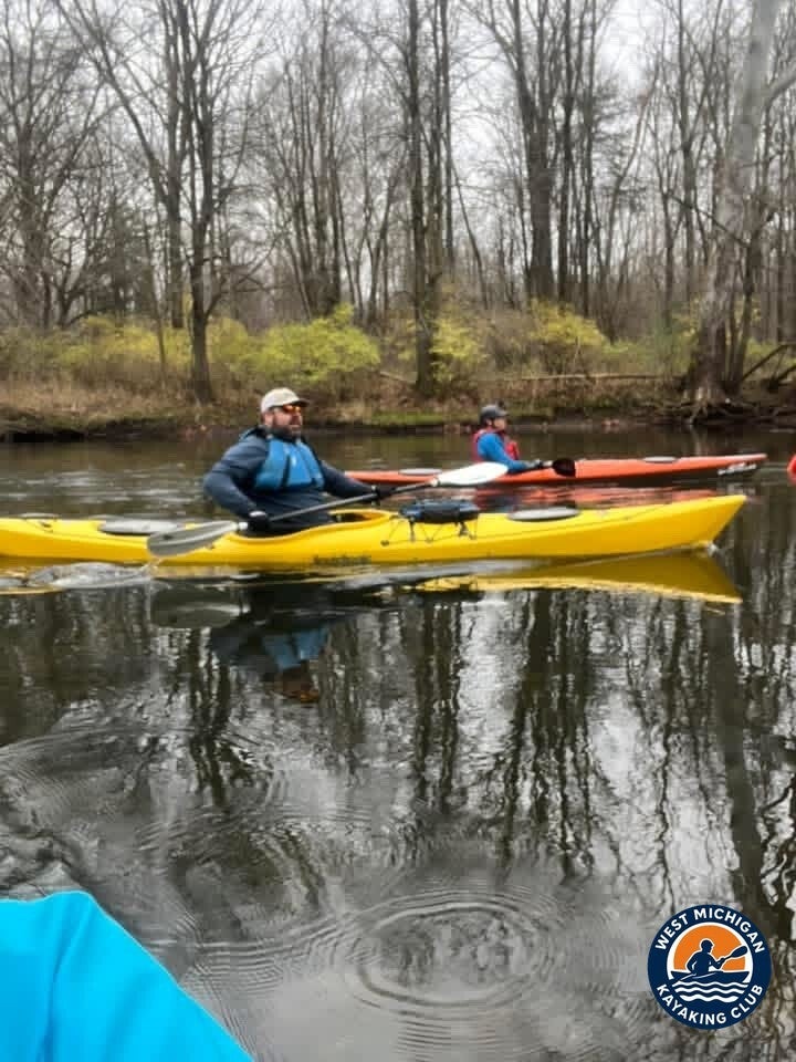
On Sunday, November 17, 2024, club co-founders Brad De Young and Tim Postma paddled 11.6 miles of the Thornapple River, traveling downstream from Tyden Park in Hastings to McCann Road in Irving, Michigan.
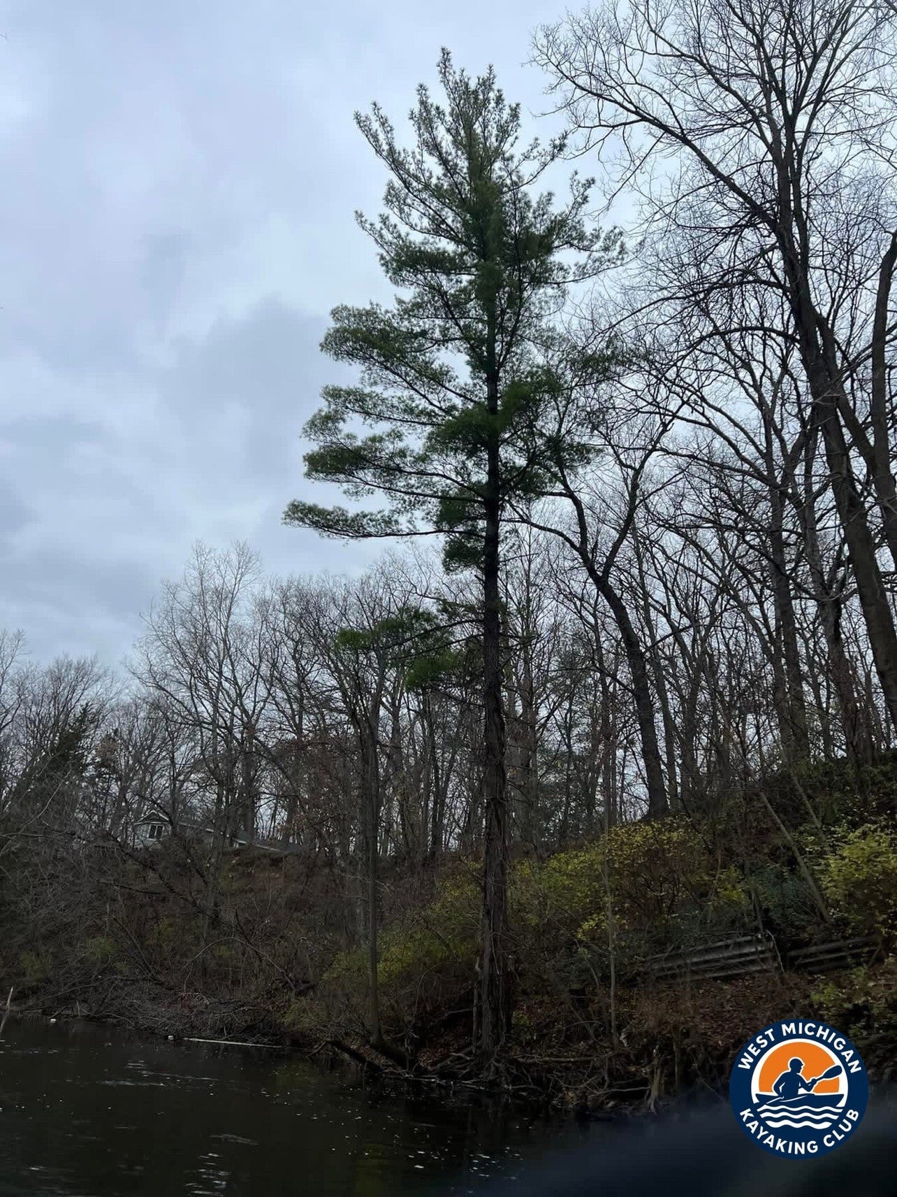
Most of the fall leaves had already dropped, but the evergreens still added plenty of color to the scenery. Along the way, they spotted a couple of bald eagles and several blue herons.
A great November day to get out on the water and enjoy everything Michigan's rivers have to offer.
1. The Put-In: Tyden Park, Hastings
Location: Tyden Park, Hastings, Michigan (Barry County)
GPS: 42.6481, -85.2855 (club guide, approximate)
Tyden Park is a Hastings city park on the river, listed in the club's Thornapple River guide at about river mile 40 with a park lot and restrooms. The USGS gage near Hastings (04117500) sits at this end of the stretch, so the day's recorded flow comes from the same water the group launched into.
2. The River Journey: Tyden Park to McCann Road
Below Hastings the Thornapple settles into the free-flowing upper river the club guide calls the Thornapple at its best for paddling -- a meandering, Class I run through low wooded country, with the Coldwater River joining farther downstream before the Irving reach. The guide figures roughly 12 miles from Tyden Park to the take-out above the Irving Dam; Brad's recorded paddle measured 11.6 miles.
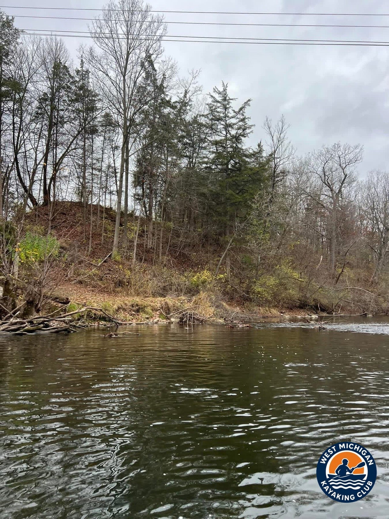
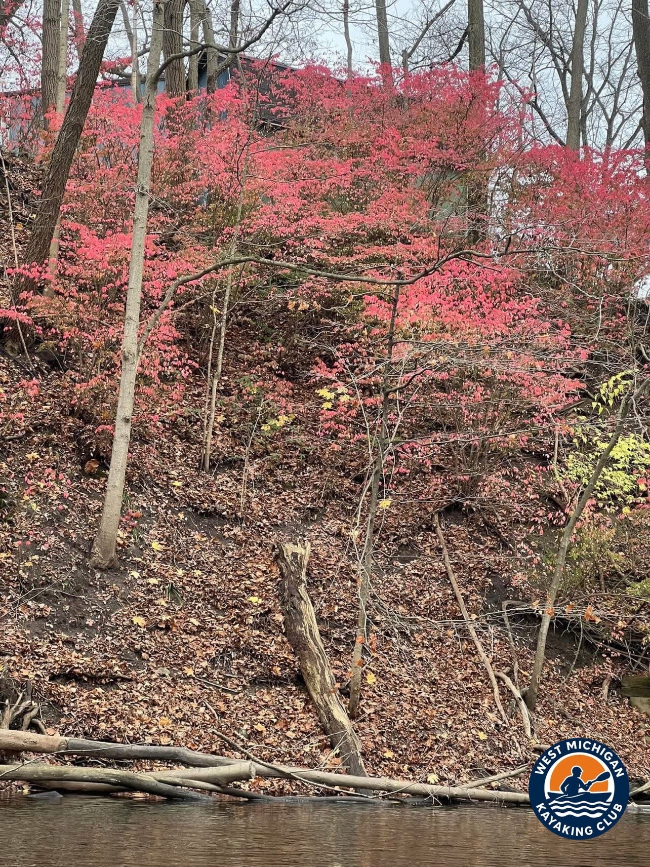
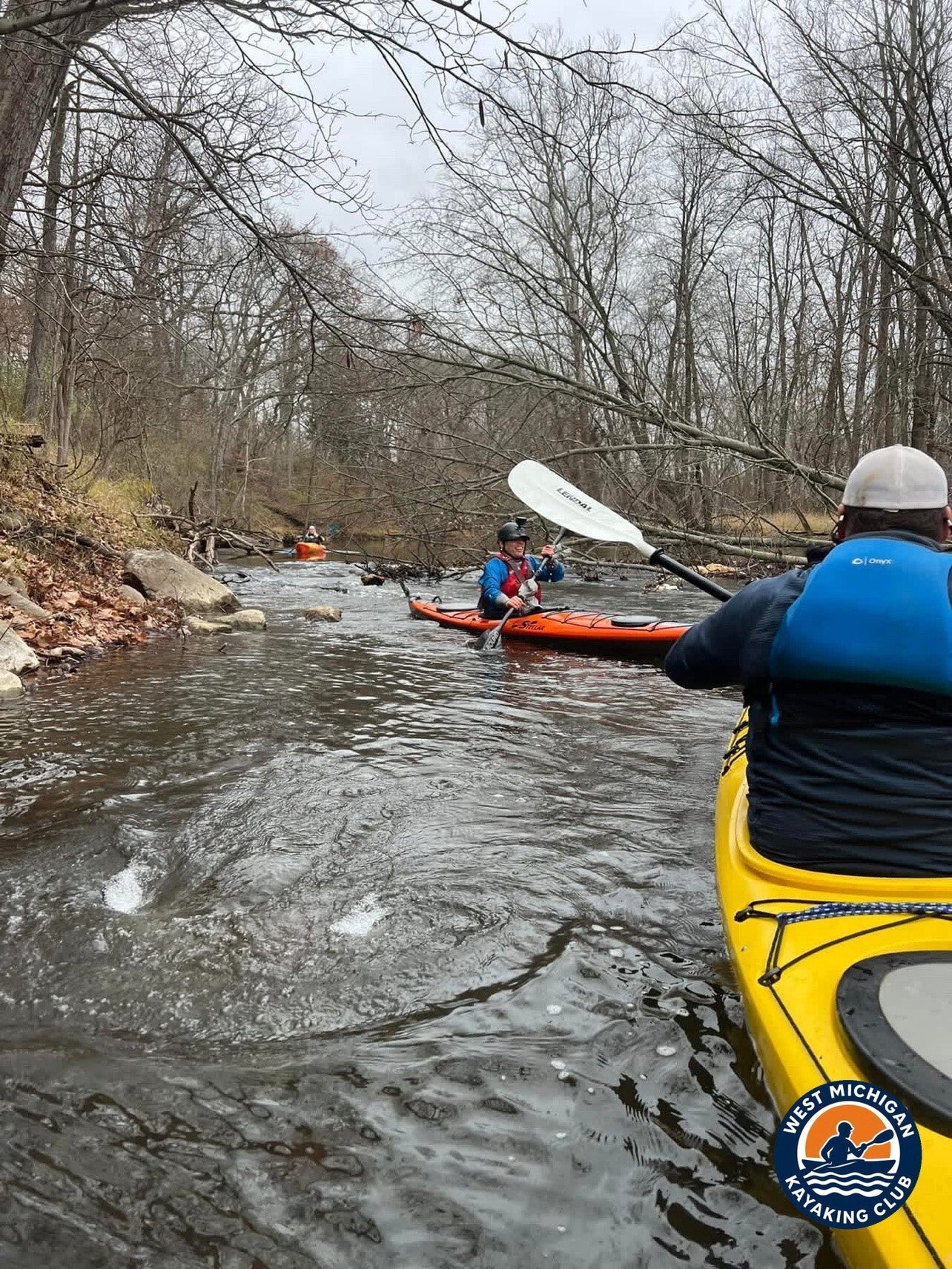
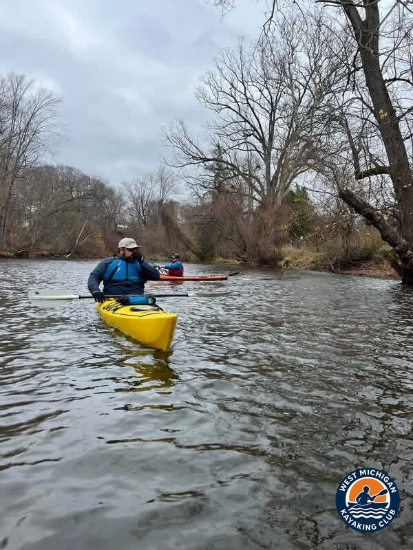
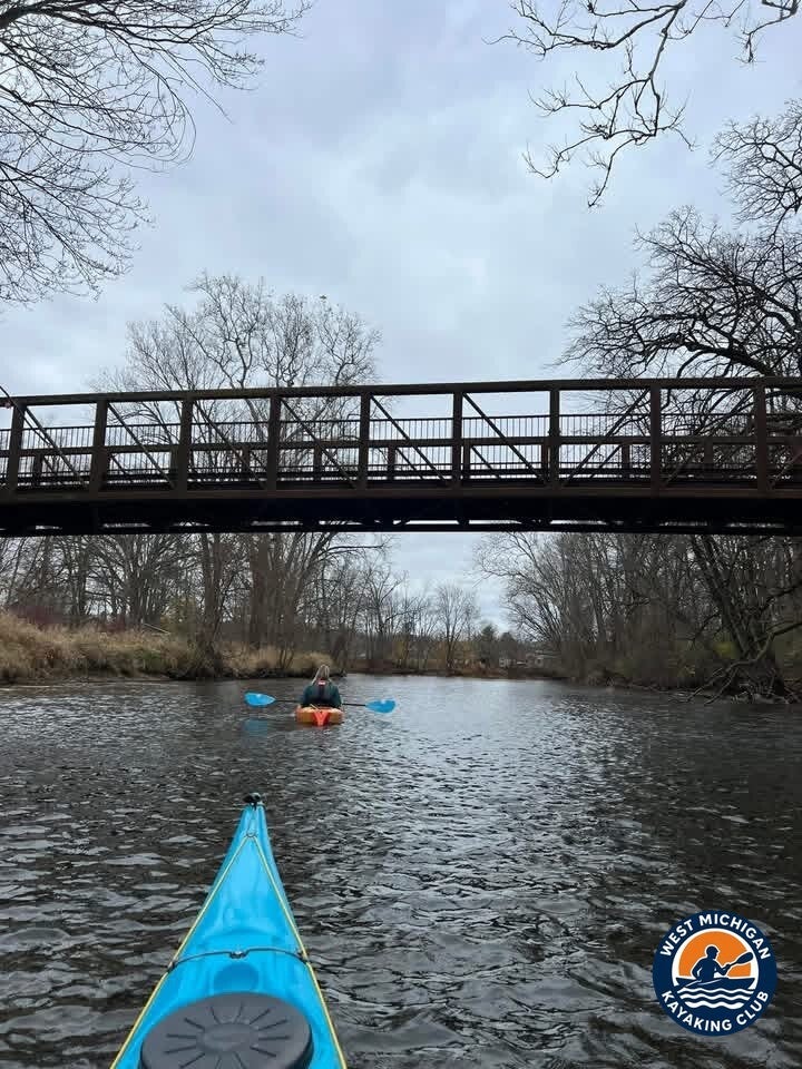
Late fall strips the corridor down. Most of the fall leaves had already dropped, but the evergreens still added plenty of color to the scenery -- tall pines holding their green over bare hardwood banks, with the last of the red fall foliage scattered along the shore. The photos tell the same story: quiet bends, wooded bluffs, and riffles to work through under leaning trees.
The wildlife showed up, too. Along the way, they spotted a couple of bald eagles and several blue herons -- a good day for birds on a river that rewards anyone still paddling in November.
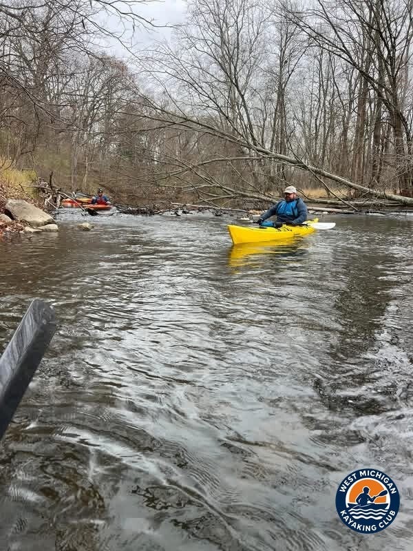
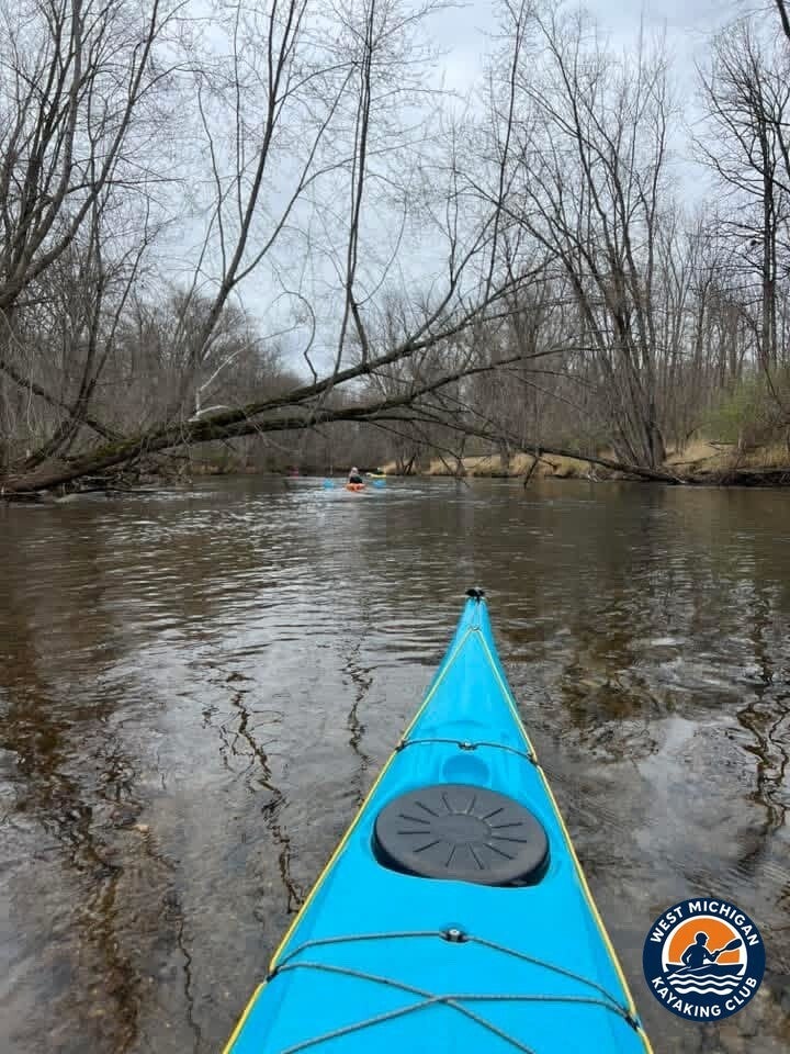
Wood stays the standing hazard on this river, and the photos show a downed tree across the channel on the lower reach -- read it early, pick your line, and portage when you are unsure. Nothing on this stretch required a carry: the Irving Dam sits just below the McCann Road take-out, which the club guide lists as the take-out above the dam.
3. USGS River Flow and Water Conditions
Primary gauge: Thornapple River near Hastings, MI -- USGS 04117500
Drainage area at gauge: 385 square miles
Gauge data: USGS monitoring location 04117500
The Hastings gage sits at the put-in end of this stretch, so these recorded values describe the very water paddled that day.
Recorded Readings for November 17, 2024
| Daily mean discharge (USGS, recorded) | 175 ft³/s |
|---|---|
| Gauge height (USGS, recorded) | not reported |
| Median daily flow for this date (USGS statistics) | 205 ft³/s |
| Condition vs. normal | Below the median for this date |
The river was running on the gentle side for mid-November -- the day's 175 ft³/s daily mean sits below the 205 ft³/s median for November 17 in the Hastings gage record (1945-2026), and inside the typical summer flow range the club's Thornapple River guide notes for this river. Easy moving water for a fall day: enough current to keep the miles coming, with no high-water push behind the wood in the channel.
4. Historical Weather Conditions in Hastings, Michigan
The nearest official National Weather Service observation station is Grand Rapids Gerald R. Ford International Airport (KGRR), roughly 20 miles northwest of the put-in.
| Temperature at meet time | 46°F (recorded 6:53 AM) |
|---|---|
| Afternoon high | 53°F |
| Sky / cloud cover | Overcast most of the day; clear before dawn, breaking up late afternoon |
| Wind speed and direction | South to southwest at 6-14 mph |
| Precipitation | None |
A mild November day by Michigan standards: temperatures in the mid-to-upper 40s through the morning, climbing to 53°F by mid-afternoon, with no rain and a south-to-southwest breeze. The gray, overcast light in the trip photos matches the recorded sky, and the warming afternoon made for comfortable late-season paddling.
5. The Take-Out: McCann Road, Irving
Location: Irving / McCann Road trailhead, Irving, Michigan (Barry County)
GPS: not published in the club guide for this access
The club's Thornapple River guide lists the Irving / McCann Road trailhead at about river mile 30 -- a free trailhead access, and the designated take-out above the Irving Dam, which sits just downstream. The guide calls this run, Tyden Park to the Irving dam take-out, the classic free-flowing upper-river day. After 11.6 miles, the paddle ended here, above the dam -- a great November day to get out on the water and enjoy everything Michigan's rivers have to offer.
Technical Trip Information
| River | Thornapple River |
|---|---|
| Trip date | Sunday, November 17, 2024 |
| Put-in | Tyden Park, Hastings -- 42.6481, -85.2855 (club guide, approximate) |
| Take-out | Irving / McCann Road trailhead, Irving (take-out above the Irving Dam) |
| Distance | 11.6 miles (club guide segment: ~12 miles Tyden Park to Irving) |
| River character | Class I, mostly gentle current through wooded lowlands (club guide) |
| Water conditions | 175 ft³/s daily mean at USGS 04117500 (Hastings) -- below the November 17 median of 205 ft³/s |
| Portages / dams | 0 -- no portage on this stretch; the Irving Dam sits just below the McCann Road take-out (club guide) |
| Shuttle | Required (one-way downstream trip) |
| USGS gauge | 04117500 -- Thornapple River near Hastings, MI |
Safety and Equipment
Participants brought their own kayaks or canoes, paddles, properly fitted personal flotation devices, drinking water, food, weather-appropriate clothing, sunscreen, insect protection and dry bags. November water is cold water: dress for immersion, not just for the air temperature, and keep a change of dry clothes sealed in a dry bag.
Wood is the main hazard on this stretch. Scout every log, never run a strainer, and portage when you are unsure. Never run a dam -- the Irving Dam sits just below this trip's take-out, so come off the water at McCann Road as planned.
More Than the Miles
November is when a lot of paddlers hang the boat up for the year. This trip is the argument for one more run: an 11.6-mile stretch of free-flowing river, eagles and herons working the corridor, evergreens carrying the color after the leaves have dropped, and two old friends covering the miles the way this club started -- Brad De Young and Tim Postma, who founded the West Michigan Kayaking Club together in 2019.
Trip Recap
- 11.6 miles from Tyden Park in Hastings to McCann Road in Irving
- Recorded flow of 175 cfs at the Hastings gage -- an easy, below-median November level
- No portages: the run ends at the take-out above the Irving Dam
- A couple of bald eagles and several blue herons spotted along the way
- Evergreens carried the late-fall color after most of the leaves had dropped
Thank you to every member who keeps paddling while the rivers are still open.
More Than Just a Kayaking Club
West Michigan Kayaking Club brings together active paddlers who love exploring Michigan's rivers, lakes, trails and wilderness areas. Our adventures range from day paddles to extended river expeditions, hiking, camping, backpacking and multi-day outdoor experiences.
We believe in getting beyond the familiar launch sites, discovering new waterways and making the most of Michigan's incredible natural resources. We aren't here just to drift downstream. We're here to explore, challenge ourselves and discover what's around the next bend.
Come Paddle With Us
Looking for Michigan kayaking trips with people who actually paddle? Membership and all club events are free.
Wild Rivers. Rugged Trails. Real Adventure.
Sources
U.S. Geological Survey, Thornapple River near Hastings, MI (USGS 04117500), streamflow records and daily statistics. National Weather Service Grand Rapids, KGRR (Grand Rapids Gerald R. Ford International Airport) observation data for November 2024. West Michigan Kayaking Club, Thornapple River guide -- launch segment distances, launch and dam details.