The Complete Expedition — 10 Sections, 11 Outings
By Brad D. De Young
The Kayaker’s Journal | West Michigan Kayaking Club
ONE RIVER. TEN SECTIONS. 226 MILES.
At the end of 2024, Tim Postma and I finished an 86-mile expedition down the Thornapple River, from its headwaters to its confluence with the Grand. That journey left us looking for something bigger. We started talking about paddling the entire Muskegon River—from its headwaters near Houghton Lake all the way to Lake Michigan.
The Muskegon is one of Michigan’s major rivers, winding through forests, wetlands, small communities, backwaters, and some of the state’s best paddling country. Published estimates of its length generally fall between 212 and 219 miles, depending on the endpoints used. We decided to break the expedition into manageable sections of roughly 20 to 25 miles, coordinating launches, takeouts, vehicles, weather, water levels, and schedules. We also accepted that the river would not always cooperate.
Some sections were fast and enjoyable. Others brought dams, portages, logjams, headwinds, shallow water, and long stretches where every stroke felt like it counted for very little. Over multiple seasons and several different crews, we documented 226 miles along the Muskegon River system. One section required a return trip months later to finish.
This is the story of that expedition, told in the order we paddled it.

PART 1 — WISNER TO MAPLE ISLAND
June 30, 2025
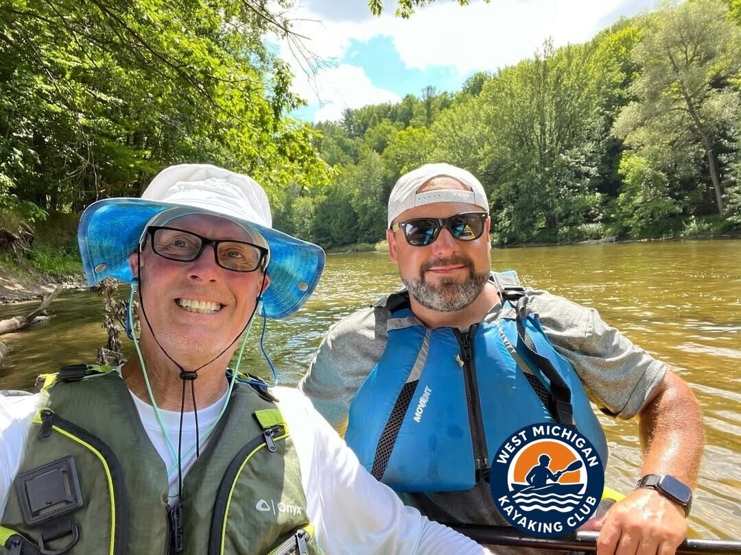
Brad and Tim preparing for the first section of the Muskegon River expedition
The morning was quiet when Tim Postma and I arrived at Wisner’s. Just the two of us. We unloaded the boats, ran the short shuttle to Maple Island, and left one car waiting. By the time we launched at Wisner’s Canoe Rental (43.4219°N, 85.7993°W), the first section of the expedition had begun.
This stretch of the Muskegon is the easy one—wide, slow, and popular with recreational paddlers. Rental kayaks, canoes, and tubes are common here in summer. The river feels open and forgiving, a good place to start. We weren’t out for a casual afternoon paddle. This was the beginning of a longer journey that would eventually take us from the upper watershed to Lake Michigan.
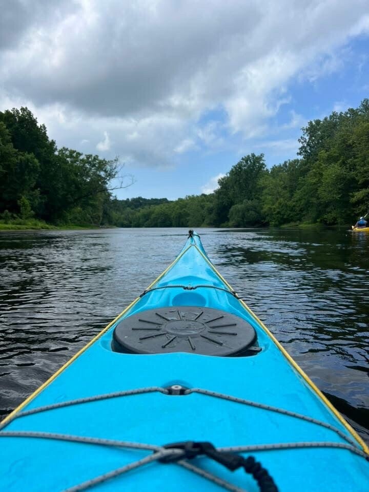
The day stayed clear and warm. High near 80 degrees, low around 66 that morning, with a light northwest breeze and no rain. Ideal conditions.
Almost immediately we shared the river with groups of tubers and people in rental canoes and kayaks. Some drifted in loose clusters, talking and laughing. Others stretched across the current in long, slow lines. We paddled through the gaps, angling around cooler tubes and zigzagging past groups that had linked their boats together. The wider sections made it easy to pass; in a few narrower bends we waited for a clear lane or cut closer to the bank.
We kept a steady rhythm, weaving between the traffic while still covering ground. The current did most of the work. We covered about 21 miles, including a lunch stop, in four hours and forty minutes. When we reached the Maple Island Boat Launch (43.3184°N, 86.0335°W), the first section was complete—clean and uneventful, even with the steady stream of other paddlers and tubers.

We stood for a moment looking back upstream, already thinking about the more remote water waiting farther up. The river had been kind on day one. We knew it wouldn’t always be this gentle. But the miles were real. The adventure had started.
PART 2 — HARDY DAM TO WISNER
July 20, 2025
The crew preparing boats at Hardy Dam
For the second section we returned with a larger crew: Tim and me, along with Gary, Brian Ferrell, Matt, and three other paddlers—eight in total.
We met at the launch area, unloaded boats and gear, and worked out the vehicle shuttle. With a downstream takeout at Wisner, vehicles had to be staged before everyone headed back upstream to Hardy Dam. That is one of the realities of long river sections: the trip doesn’t begin when the boats hit the water. There is planning involved first.
Once the vehicles were arranged, we launched at Hardy Dam and set out downstream.
Paddlers heading into the Hardy Dam backwaters
The upper part of this section is influenced by Hardy Dam and its extensive backwaters. Instead of steady current, much of the route feels more like paddling across a broad body of water. The current was barely noticeable, and the open water exposed us to a headwind. Progress was harder than the mileage alone suggested.
The Muskegon is a popular summer destination, and we encountered recreational boaters, kayakers, and tubers along the way—plenty of activity, especially through the more developed areas.

One of the major challenges was the portage around Croton Dam.
THE CROTON DAM PORTAGE
Croton Dam is a hydroelectric facility. Paddlers cannot continue straight through it. We had to leave the water and carry our boats around the dam before putting in below. The portage is on the west side of the river (river-right when traveling downstream)—an important detail when planning this section.

Portages are part of traveling a river with a long history of hydroelectric development. They take time, require coordination, and can be physically demanding, especially when everyone is carrying boats and gear.
After the portage we continued downstream toward Wisner. Below the dam the character of the river changed, though recreational traffic remained steady. By the time we reached Wisner we had covered approximately 20 miles in around five and a half hours, averaging roughly 4 to 4.5 miles per hour.
It was a good day on the water, and another significant section of the river was behind us.

PART 3 — HIGHBANKS PARK TO HARDY DAM
August 3, 2025
This section was just Tim Postma and me again.
We had hoped for higher water from recent rain, but the rain never really materialized. Once on the water we quickly discovered the river was backed up by Rogers Dam. Instead of steady current, we found ourselves working through the backwaters created by the dam.
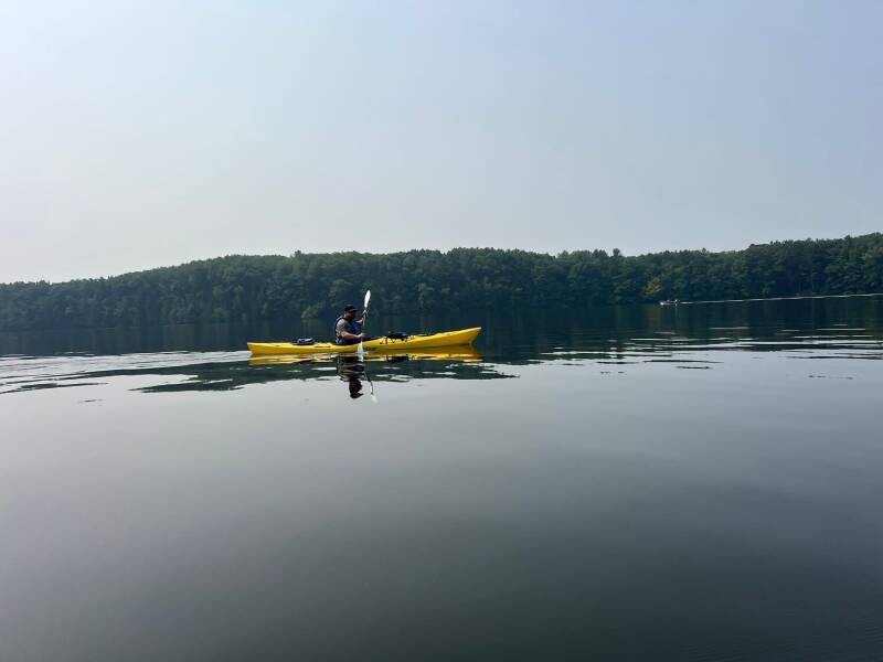
We muscled our way through the slack water, navigating around buoys and danger markers toward the dam and the portage. The Rogers Dam portage is on the east side of the river. It is a substantial carry—a little over a quarter-mile—whether you are in a kayak, canoe, or paddleboard.
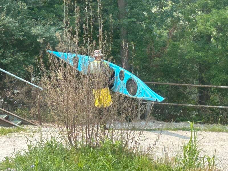
After the carry, Tim and I took a short break for lunch. One of the more memorable moments of the day had nothing to do with the river. Tim tossed some apple scraps and disturbed a hornets’ nest. The hornets were not pleased. Fortunately they did not attack him. They went after the innocent bystander—me. I took the brunt of their attention. It wasn’t bad enough to require medical help. I brushed them off, regrouped, and got back in the kayak before anything else decided to appear.
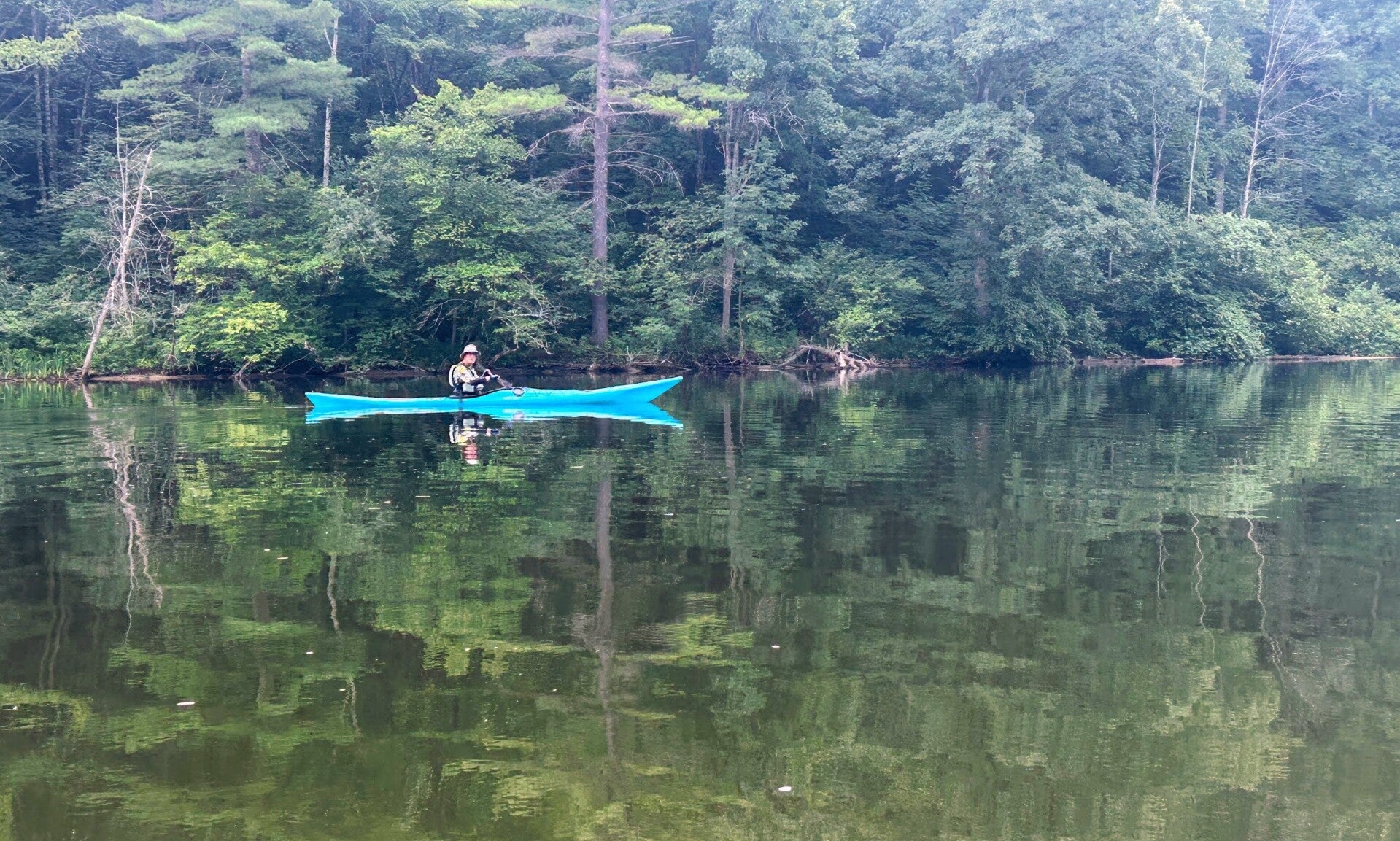
We continued downstream. One of the interesting landmarks is the U.S. 131 bridge. If you’ve driven north over the Muskegon River, you know it—extremely tall, spanning the river valley. Seeing it from the water was completely different. Instead of looking down into the valley, we were paddling beneath the enormous structure, looking up. It was an impressive sight and one of those perspectives you only get by kayak.
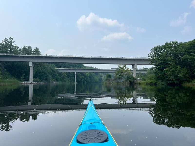
This is also approximately where the influence of Hardy Dam begins. As the river enters the Hardy Pond impoundment, the current slows significantly. The river begins to feel less like a moving waterway and more like a long lake. And this is where the day became a real test.
We still had miles of open water ahead, and conditions were not in our favor. A headwind blew up Hardy Pond, creating rougher water and making forward progress difficult. Instead of the river carrying us, we fought the wind through water that offered very little assistance.
Open water and wind-driven waves on Hardy Pond
The next seven to eight miles felt endless. There is something mentally exhausting about paddling slack water when you are used to current helping you. Every stroke feels like it should move you farther than it does. The shoreline barely appears to move. The headwind, the rough water, and the sheer length of the crossing began to wear us down. It wasn’t one dramatic obstacle. It was the accumulation of effort, stroke after stroke, with very little relief.
By the time we reached Consumers Energy Park, we were both ready to be done. I looked over at Tim and told him that physically and mentally I could not take one more paddle stroke. It was one of the most daunting tests of the entire expedition.
We had dealt with portages, dams, fallen trees, and other challenges, but this stretch was different. It was the mental grind of fighting a headwind across miles of slow-moving water. There was no quick way through it. We simply had to keep paddling.
We covered approximately 25 miles in around eight hours. It was a reminder that mileage alone does not determine difficulty. A moving river can make 25 miles feel manageable. Seven or eight miles of wind-driven slack water can make those same hours feel like an entirely different expedition.
We finished tired, but another piece of the Muskegon was behind us. And we still had plenty of river left.
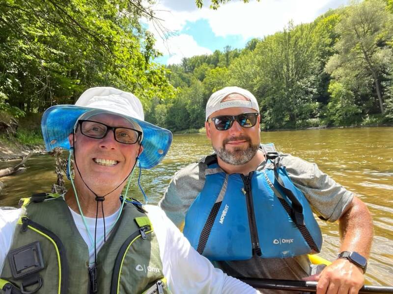
PART 4 — HERSEY TO HIGHBANKS PARK
August 17, 2025
Launching at Hersey
We were back on the water, continuing downstream from Hersey toward Highbanks Park. This section offered a welcome change from the slow backwaters and long crossings around the dams. Here the river had more current and moved at a quicker pace.
The stretch around Big Rapids was especially enjoyable. The current picked up, and there were rapids that made the paddling more exciting. After so much time working through impoundments, it felt good to have the river doing some of the work again—and to use our skills navigating riffles, rocks, and other whitewater features. We encountered plenty of wildlife: big turtles, bald eagles, herons, green herons, kingfishers, and an abundance of white-tailed deer.
Faster water and rapids near Big Rapids
Along the way we met Tracey and Gary from the Big Rapids Rotary Club, out for their annual river cleanup. It was good to see people putting time into taking care of the river. Paddlers experience these waterways firsthand, and seeing local organizations work to keep them clean is always encouraging.
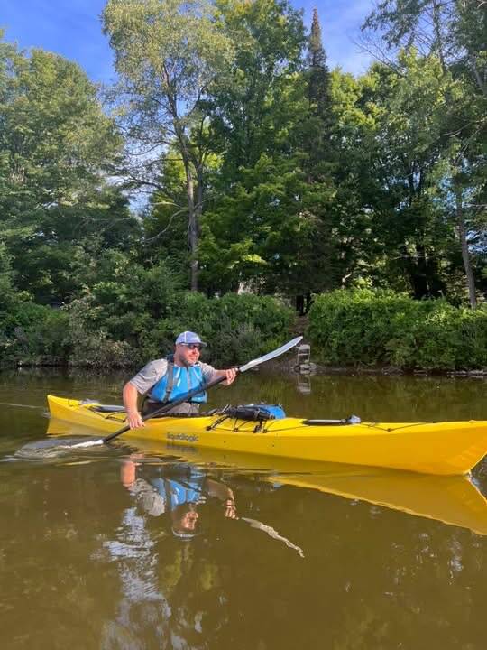
We continued downstream, enjoying the current and making steady progress. The section covered approximately 20.5 miles and took around five and a half hours. Another section completed, and the Muskegon continued to show how different it could be from one stretch to the next.
PART 5 — CRAWFORD PARK TO EVART / HERSEY
September 20, 2025
Autumn scenery along the Muskegon River
By late September the seasons were beginning to change. We returned for the section from Crawford Park toward the Evart and Hersey area. This time it was Tim, me, and our friend Gary for the full 22 miles. Gary brought his new sea kayak—I believe this was one of the longest kayaking trips he had taken up to that point.
Fall was starting to show along the riverbanks. The landscape was still mostly green, but early color was appearing in the trees. It was a good time of year to be on the water.
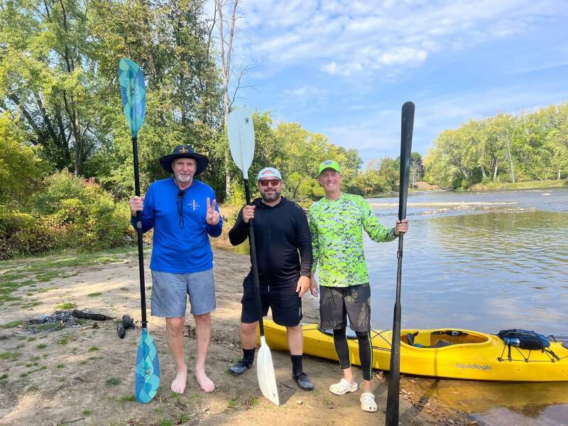
Wildlife is one of the things that makes long-distance paddling rewarding. You spend hours moving quietly through places difficult to appreciate from the road. On this section we spotted green herons. We came upon a bald eagle eating a fish on the bank; it eventually noticed us, spread its wings, and flew away. That was a cool experience.
As we moved downstream we were also approaching an important milestone. We had now passed the 100-mile mark—nearly halfway through our documented route. What had started as an idea between two paddlers was becoming a serious long-distance project. We had already worked through several dams and backwaters, and some of the most challenging sections still lay ahead.
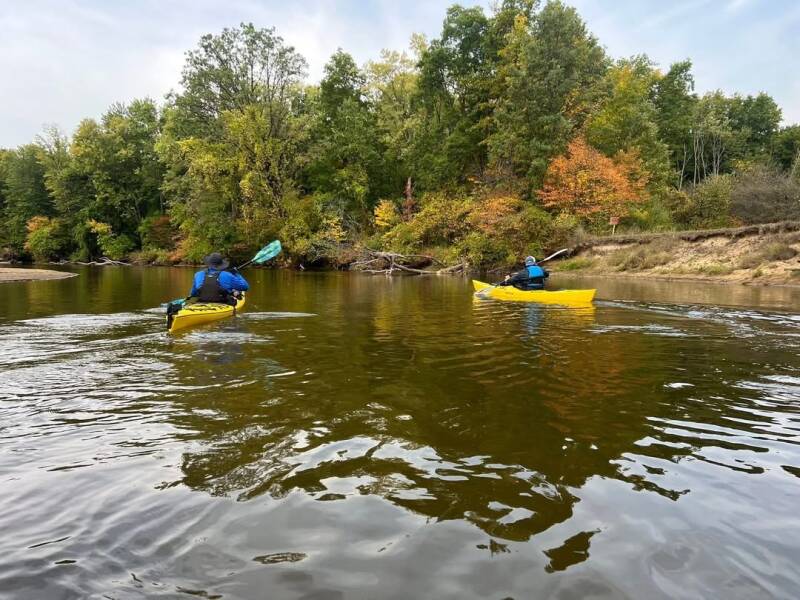
We covered approximately 22 miles in about five and a half hours. Passing 100 miles was satisfying, but it was also a reminder of how much river remained between us and Lake Michigan.
PART 6 — PINE ROAD TO CRAWFORD PARK
October 4, 2025
Fall colors along the Muskegon River
October brought us back for the section from Pine Road to Crawford Park. Four people joined us, including my good friend Karen Standley. Some of us camped; others drove up the night before—it’s a little over an hour and a half from the west side of the state. We arrived bright and early around 7:00 a.m. and launched. It was a cold morning. The fall colors were fully in effect. The river moved at a moderate pace. We didn’t see much wildlife beyond beaver dams and the occasional fish, but it was a beautiful, quiet paddle.
The river was taking on a different appearance as fall progressed. The colors were more pronounced, and the landscape had a quieter feel than during the busy summer months. This section felt more remote. There were fewer signs of recreational activity, and we spent more time surrounded by wooded banks and natural scenery.
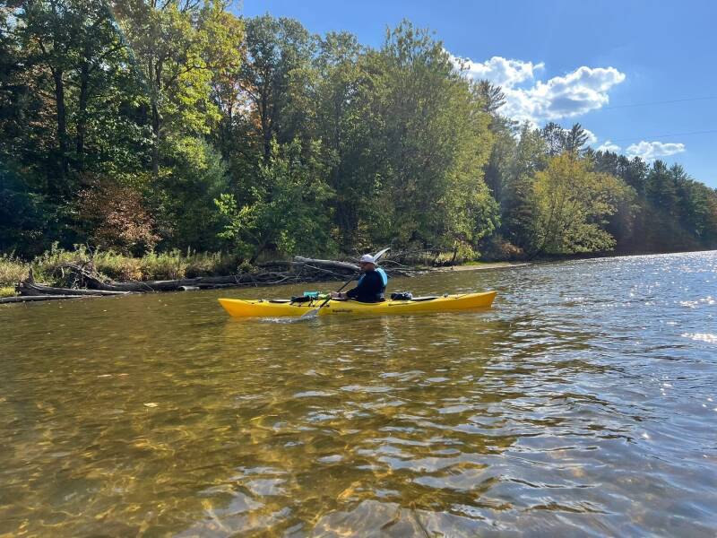
We continued downstream, adding another 23.5 miles. The trip took approximately six hours. At this point we were getting deeper into the season. We knew the remaining sections would become more difficult as temperatures dropped and fallen trees and changing water conditions became bigger factors.
PART 7 — JONESVILLE ROAD TO PINE ROAD
November 1, 2025
The group preparing to launch at Jonesville Road
The Muskegon was beginning to show a more challenging side. About eight of us were on the water, including Karen Standley and Gary again. The river was flowing above average. This section seemed less traveled. There were log hops and log-unders to navigate. It didn’t look as if this part of the river had been cleared as thoroughly as the previous section—a theme that would continue as we worked our way north.
The river was narrower and more obstructed. Fallen trees, logjams, and tight passages became regular features of the day. We had to work our way through the obstacles—deciding whether to go over, under, around, or get out and deal with them directly. This was not a river where you could simply sit back and let the current carry you.
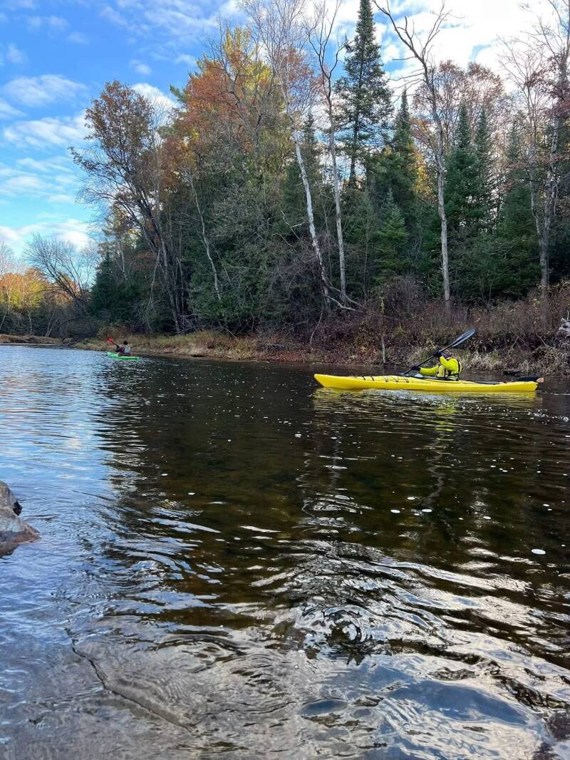
We took a more minimalist approach to clearing obstacles, moving through the passages that were available rather than trying to turn the river into an open channel. Every obstruction was a reminder that the Muskegon is a living river, constantly changing with weather, water levels, and fallen trees.

Having a larger group made a difference. Obstacles that would be difficult for one or two people became more manageable with several paddlers working together—moving boats, spotting routes, and helping one another through the tighter sections.
We continued from Jonesville Road toward Pine Road, adding another section. The river was becoming more demanding, and winter was approaching. We had no idea just how difficult the next section would turn out to be.
PART 8 — WHITE BIRCH CAMPGROUND TO JONESVILLE ROAD
Two Attempts. One Completed Section.
THE FIRST ATTEMPT — NOVEMBER 22, 2025
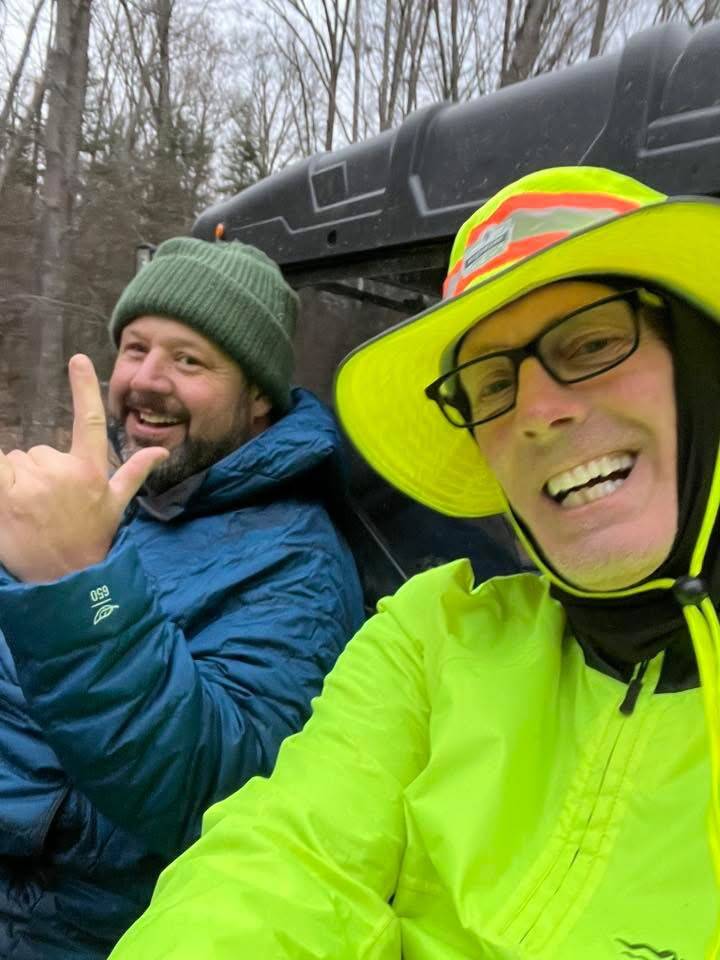
Tim Postma and Brad De Young hitchhiking back after our first failed attempt
The section from White Birch Campground to Jonesville Road became one of the most memorable parts of the expedition—not because it went smoothly, but because it didn’t.
We set out on November 22. It was cold, and there was a little ice on the river at White Birch. Weather and river conditions were already less forgiving. The upper river was narrow, remote, and filled with fallen trees and logjams. It quickly became clear this would be a very different kind of paddle.

We encountered obstacle after obstacle—places where we had to climb over fallen trees, drag boats through tight passages, or get out and carry around blockages. At times it seemed every short stretch presented another problem. Progress was slow and physically demanding. By the time we had traveled approximately nine miles, we had already dealt with around ten portages. The obstacles and cold were taking their toll.
About six hours in, we came across an unoccupied deer cabin roughly a mile from a road. It offered a place to stop and reassess. Continuing as planned no longer made sense. Rather than push farther into the difficult conditions, we decided to get out. We walked approximately a mile to the road and caught a ride on a UTV for the remaining three and a half miles.
Even though we didn’t complete the section, the day had its memorable moments. We saw deer and an eagle, and the remote setting gave us a glimpse of how wild this part of the Muskegon can be. There was also a personal moment that stayed with me. A birch tree along the river reminded me of my wife. Sometimes a simple sight on the water brings back memories that have nothing to do with mileage or challenges.
Birch tree along the river
We accepted that the section wasn’t going to be finished that day. Winter was setting in. We would come back when conditions were better. The river wasn’t going anywhere.
THE RETURN — JULY 12, 2026
Returning to the unfinished section near White Birch Campground
After the November attempt, we knew we had unfinished business. On July 12, 2026, we returned with a larger crew and a plan to complete the section.
We expected obstacles. We knew the river was narrow and that fallen trees would be part of the day. What we didn’t fully appreciate was just how many there would be.
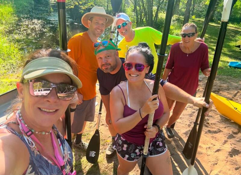
THE RETURN — JULY 12, 2026
After the November attempt, we knew we had unfinished business. On July 12, 2026, we returned with a larger crew and a plan to complete the section.
We expected obstacles. We knew the river was narrow and that fallen trees would be part of the day. What we didn’t fully appreciate was just how many there would be.
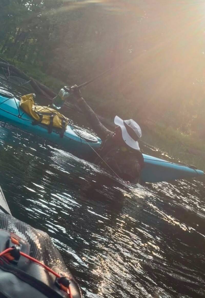
The logjams seemed endless. In some places we encountered them every quarter- to half-mile. We were constantly getting out of our boats, dragging them over obstacles, carrying them around fallen trees, and climbing through debris. This was not a typical recreational paddle. It was a full-day exercise in persistence.
At times the river was so obstructed that we spent more time out of the water than in it. We had to work together to move boats and gear through the difficult sections. There were also leeches—another reminder that this part of the river is a long way from the more developed recreational stretches downstream.
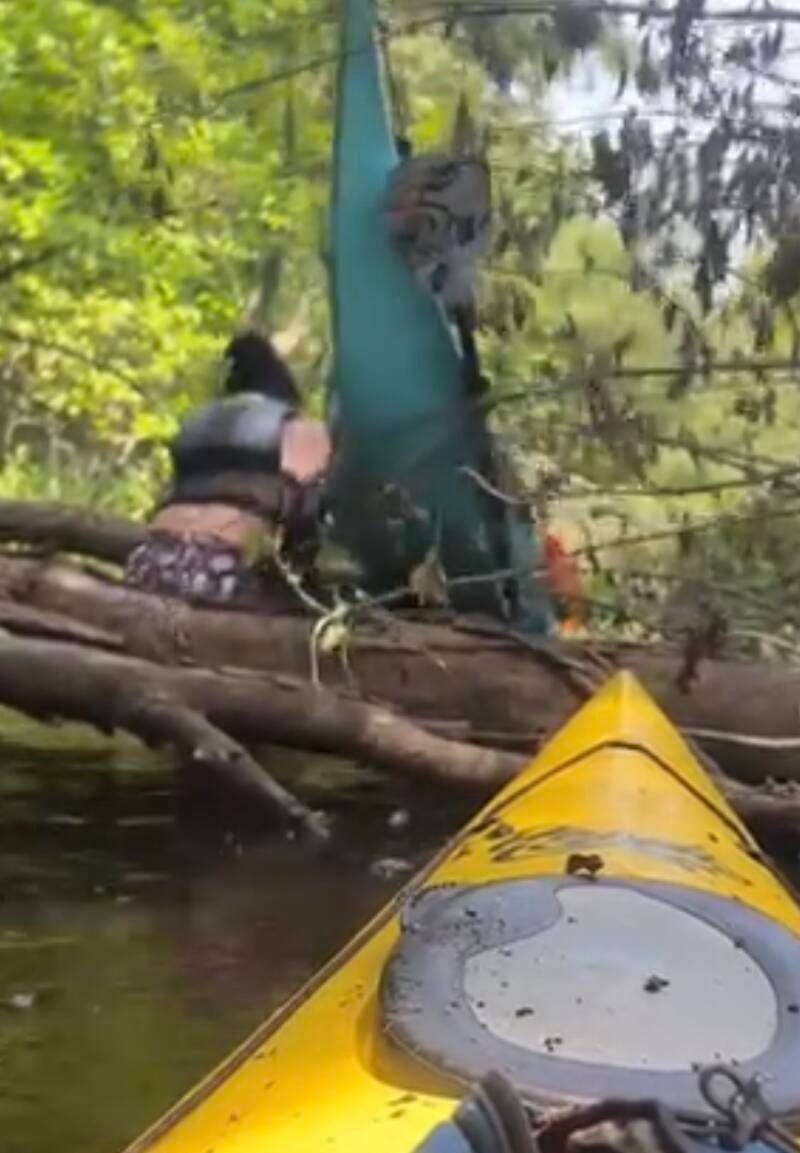
As afternoon turned to evening, the bugs and blackflies became especially noticeable around 8 p.m. After a day of fighting obstacles, it was one more challenge. The trip lasted more than 12 hours.
But this time we finished it. Returning in July and completing the section after the failed November attempt was a satisfying accomplishment. It took a larger crew, a long day, and a lot of teamwork, but we finally connected White Birch Campground to Jonesville Road. The Muskegon had made us work for those miles.
PART 9 — HOUGHTON LAKE TO WHITE BIRCH CAMPGROUND
August 23, 2026
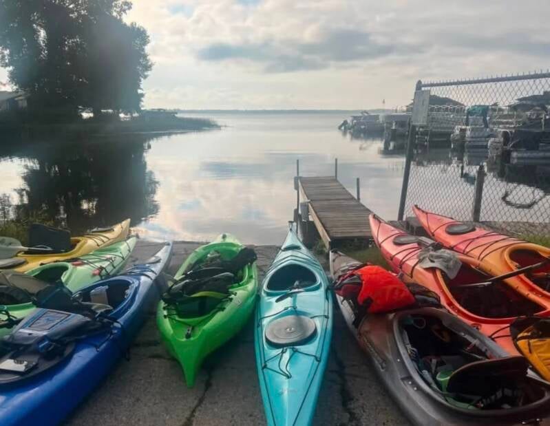
The upper Muskegon River near its headwaters
In July 2026 we returned to the upper Muskegon for the section from Houghton Lake to White Birch Campground. This was an important part of the expedition—we were finally reaching the headwaters area and working down through the uppermost stretches of the river.
Other West Michigan Kayaking Club paddlers joined us. Some were newer to this kind of paddling, and the day would give everyone a firsthand look at how demanding a long-distance river expedition can become.
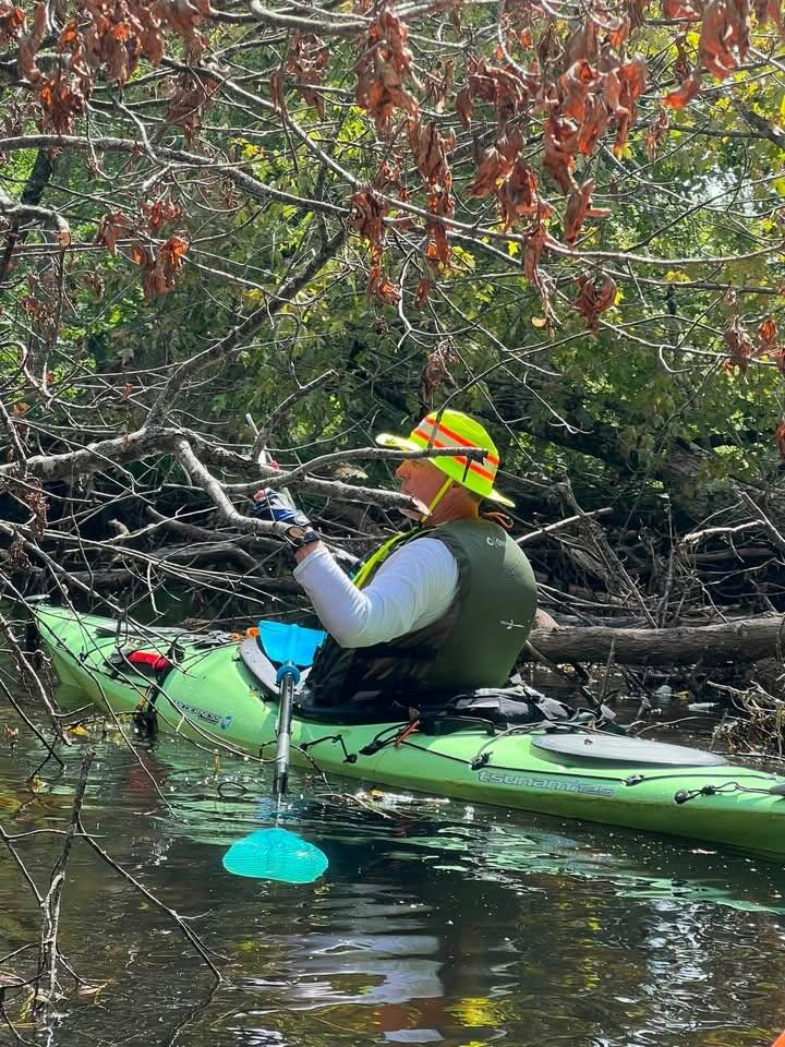
The upper river presented challenges almost immediately. We encountered a dam controlling the water level at Houghton Lake, which required a portage. There were also approximately seven miles of backwater before another larger dam portage.
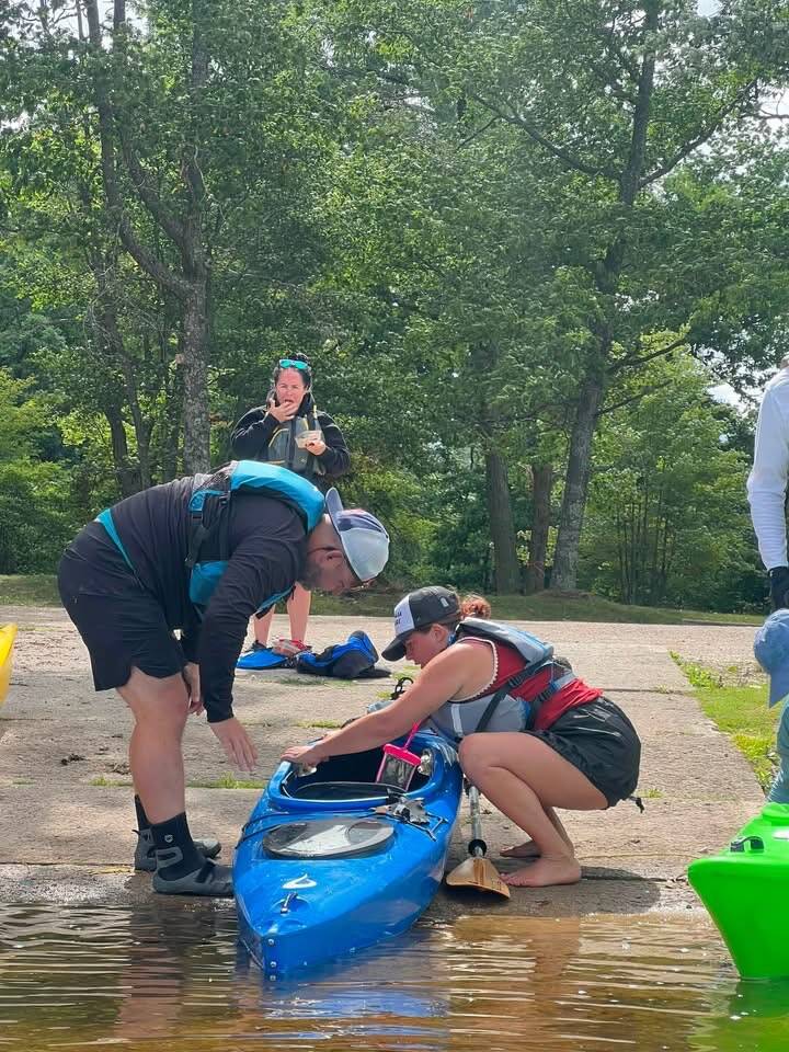
Beyond the dam the river became narrower and more remote. After the M-55 area, fallen trees and logjams became regular obstacles. In some places there seemed to be another blockage every half-mile. We carried saws and used them to cut through selected obstacles where necessary. Other times we had to drag or carry the boats around fallen trees and difficult passages.
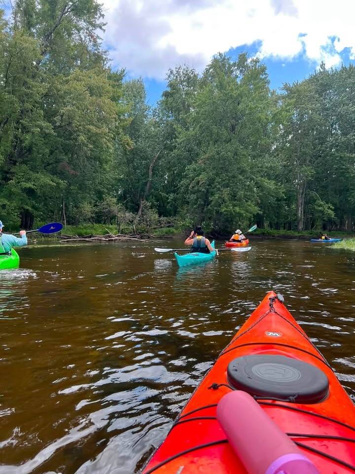
The pace varied considerably. In open stretches we could make around three to three and a half miles per hour. Through the obstacles, progress could drop to one and a half or two miles per hour. That difference adds up over a long day. A section that looks manageable on a map can become a full-day undertaking when the river is blocked again and again.
We continued working downstream, navigating the narrow channels, clearing obstacles, and helping one another through the more difficult areas.
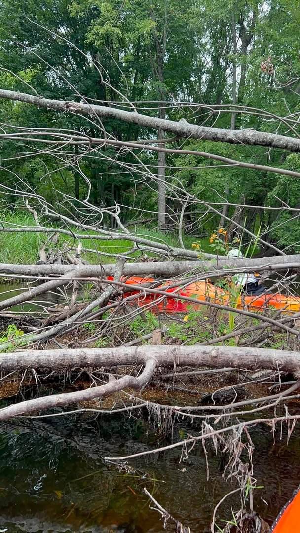
By the time we reached White Birch Campground we had covered approximately 25 to 27 miles and spent around 13 hours on the water. We arrived after dark. It was a long day, but we had accomplished something important. We had paddled the uppermost section of the route and connected the expedition to the headwaters near Houghton Lake. The river was beginning to feel complete.
PART 10 — MAPLE ISLAND TO LAKE MICHIGAN
The Final Paddle
November 15, 2026
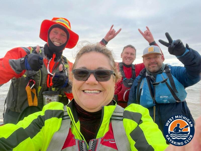
After months of working our way along the Muskegon, the final section had arrived. On November 15, 2026, Tim Postma and I were joined by James Bruce and Susan for the last leg. We launched at Maple Island and set out toward Muskegon Lake, the channel, and ultimately Lake Michigan.
It was an early start. At 6:23 a.m. the temperature was around 37 degrees. Coffee was part of the preparation. The cool morning air made it clear this would be a late-season paddle.
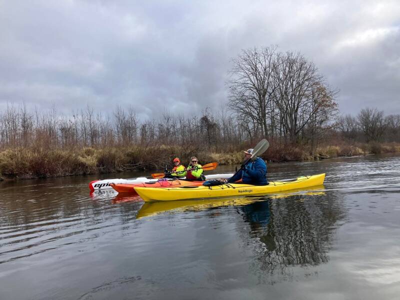
The river section was approximately 20 miles, followed by the crossing of Muskegon Lake and the trip through the Muskegon Channel to Lake Michigan. We had spent so much time on the upper and middle sections that reaching this final stretch felt different. We knew the route, we knew the destination, and we knew that when we reached the lake the entire expedition would be complete.
The current moved well in places. On the faster stretches we made around 5.5 miles per hour. For context, the USGS gauge near Croton was reporting a discharge of approximately 1,690 cubic feet per second around this time—useful reference information, even if it was not a direct measurement of the water at Maple Island.
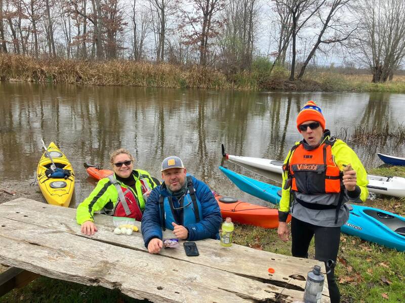
We continued downstream, taking in the final miles of river. After all the portages, logjams, backwaters, and long days, it was satisfying to be moving toward the finish. We took a break of about 20 minutes before continuing toward Muskegon Lake.
MUSKEGON LAKE
Muskegon Lake is approximately 4,150 acres and stretches about five miles. After so much time on a winding river, the open water was another change in scenery. The wind was light and the lake relatively calm. Rain moved through during the day, but conditions remained manageable.

The lake is an important part of the Muskegon waterway and connects the river to Lake Michigan through the Muskegon Channel. It also marks the transition from river paddling to the final open-water portion of the expedition. We continued toward the channel, knowing the final stretch required attention.
THE MUSKEGON CHANNEL
The Muskegon Channel is a working shipping channel. It is not simply another recreational stretch of water. Paddlers need to be aware of boat traffic, navigation, and the hazards associated with a commercial harbor. We made our way through while keeping an eye on surroundings and activity in the harbor.

The historic breakwater lights were a recognizable landmark as we approached the lake. The channel is also used by the Lake Express ferry, another part of Muskegon’s connection across Lake Michigan. After traveling the length of the river, the harbor and channel offered one last reminder that the Muskegon is more than a paddling destination. It is part of a working waterway and a connection between inland Michigan and the Great Lakes.
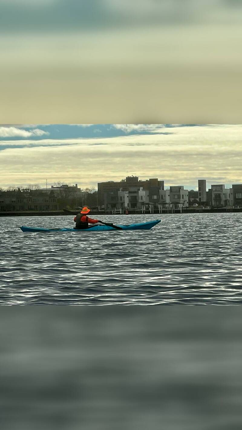
Then came the moment we had been working toward.
LAKE MICHIGAN
We reached Lake Michigan and completed the final paddle to Pere Marquette Park.
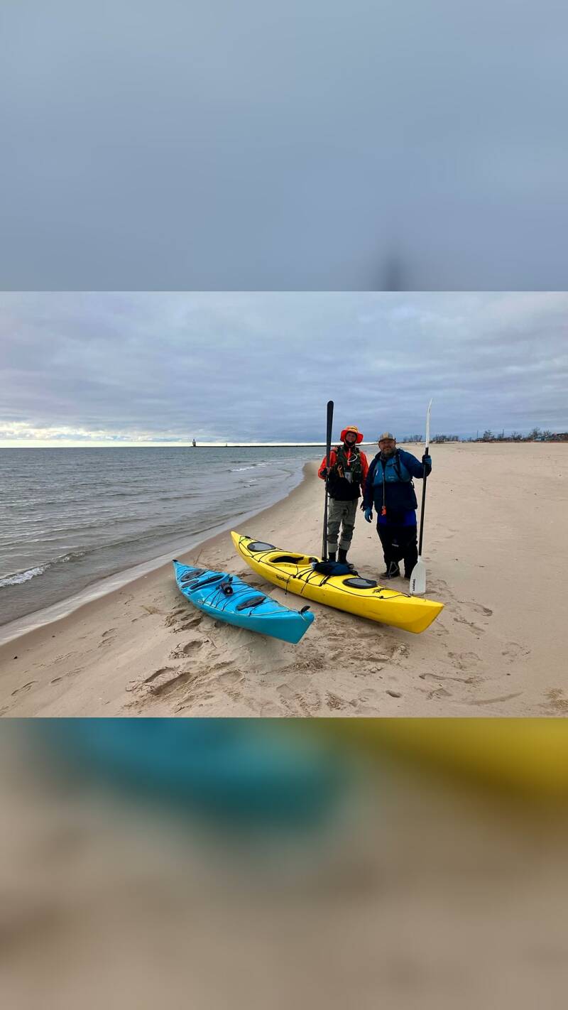
It was difficult not to think back over everything that had gone into getting there: the first launch at Wisner; the backwaters and headwinds around the dams; the long carry around Rogers Dam; the hornets; the bridge at U.S. 131; the endless miles across Hardy Pond; the faster water around Big Rapids; the fall colors; the logjams; the cold November attempt that forced us to turn around; the return trip that took more than 12 hours; and finally the journey to the headwaters near Houghton Lake.
Every section had its own challenges and its own memories. We had started this project as an idea between two paddlers after completing the Thornapple. Now, after multiple seasons and a total documented route of 226 miles, we had reached the end of the Muskegon.

THE JOURNEY BEHIND THE MILEAGE
A long-distance river expedition is about more than putting miles on a map. It is about learning how a river changes from one section to the next.
The Muskegon gave us fast current and slow backwaters, open water and narrow channels, recreational stretches and remote wilderness. It gave us beautiful fall scenery, wildlife encounters, unexpected wildlife of a less welcome kind, and obstacles that sometimes seemed impossible to get around.
It also showed us how important teamwork is. Some sections were completed by Tim and me alone. Others brought together larger groups of paddlers. Every person who joined us became part of the story.
We learned that a 20-mile day can be easy or exhausting depending on the conditions. A headwind across slack water can be harder than miles of moving current. A narrow stretch filled with logjams can turn a planned day trip into a 12-hour expedition. And sometimes the right decision is to stop, walk out, and come back another day.
The final number—226 miles—is the documented distance of our route. Published estimates of the Muskegon River’s length commonly place it between approximately 212 and 219 miles. Our mileage reflects the route we paddled, including the connected waters and sections that made up this expedition.
Most importantly, we did it.
Thank you to everyone who joined us along the way, helped with logistics, shared the water, and made these trips possible. And a special thanks to Tim Postma for taking on the original challenge and sticking with it from the first miles to the final landing.
There are plenty of rivers left to explore, but completing the Muskegon will always be one of those adventures that stays with us.
Wild Rivers. Rugged Trails. Real Adventure.
West Michigan Kayaking Club
https://www.westmichigankayakingclub.com
#WestMichiganKayakingClub
Plan your own paddle with our Muskegon River guide, or browse the full Muskegon River series post by post.
Add comment
Comments