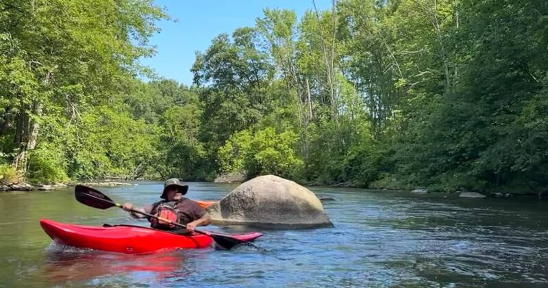
A red kayak slips past one of the Lower Rogue's mid-river boulders.
Eight Paddlers, Shallow Water, and a Summer River That Tested Our Patience
By Brad D. De Young | The Kayaker's Journal
Trip Date: July 20, 2024
There are days on the river when everything comes together perfectly. The current carries you downstream, the scenery unfolds around every bend, and miles pass beneath your kayak almost effortlessly. Then there are days when the river has other plans.
Our July 20, 2024, adventure on the Lower Rogue River was definitely one of those days.
Eight of us gathered in downtown Rockford, Michigan, ready for a downstream paddle on one of West Michigan's familiar waterways. Our plan was straightforward: launch in Rockford and follow the Rogue downstream to the Grand River Boat Launch on West River Drive.
What we encountered was a river running exceptionally low, with exposed rocks and shallow stretches that would challenge us throughout the day.
A River That Wasn't Ready to Carry Us
From the moment we launched, it became apparent that water levels were going to be a problem.
The Rogue River was extremely shallow. Instead of settling into a comfortable paddling rhythm, we repeatedly found ourselves bouncing off rocks and scraping across the river bottom.
The shallow water forced us to constantly adjust our routes, searching for deeper channels and trying to avoid the rocks beneath us. In some places, there simply wasn't enough water to keep our kayaks moving freely.
It was one of those trips where you quickly realize that having a kayak doesn't necessarily mean you're going to spend the entire day paddling.
Much of our journey became an exercise in navigating shallow water, maneuvering around exposed rocks, and making the best of conditions that weren't particularly favorable.
With eight paddlers traveling together, everyone experienced the same challenge. We continued downstream, working our way through the river's shallow sections and making progress toward our take-out.
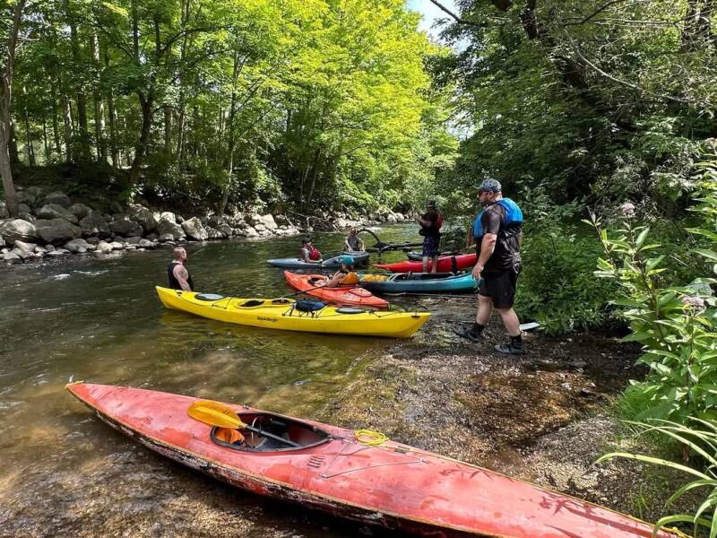
Low water turned parts of the Rogue into a walk among the rocks.
Understanding the Lower Rogue
The Rogue River is an important part of West Michigan's watershed, flowing through communities and landscapes that offer paddlers opportunities to experience the region from a different perspective.
Like many Michigan rivers, however, the Rogue is heavily influenced by seasonal rainfall, groundwater, and changing summer conditions.
By mid-to-late summer, water levels can decline considerably. Sections that may be perfectly navigable during spring runoff or early summer can become surprisingly shallow by July and August.
Exposed rocks, shallow riffles, and reduced current can turn what would normally be a relaxing downstream paddle into a physically demanding outing.
Our experience on July 20 was a perfect example.
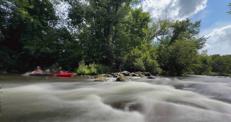
Even a low river keeps its riffles — the Rogue below Rockford.
Weather and River Conditions
Our trip took place during the middle of July, with historical weather information for the Rockford area indicating approximately 79 degrees Fahrenheit for the daytime high and 59 degrees overnight.
The weather was typical of a Michigan summer day, but favorable air temperatures couldn't compensate for the lack of water.
The appropriate USGS monitoring location for checking river conditions is:
USGS Station 04118500 — Rogue River near Rockford, Michigan.
This station provides discharge measurements in cubic feet per second (CFS), along with river-level information.
The exact archived discharge reading for July 20, 2024, has not been independently verified, so we are leaving the numerical CFS figure unpublished rather than estimating it.
USGS Water Data: https://waterdata.usgs.gov/
Trip Details and Access Points
Date: July 20, 2024
River: Lower Rogue River
Number of paddlers: 8
Put-in: Downtown Rockford, Michigan
Take-out: Grand River Boat Launch, West River Drive
Water conditions: Extremely low
Primary challenge: Shallow water and exposed rocks
Approximate GPS coordinates:
Put-in — Downtown Rockford: 43.1120, -85.5650
Take-out — Grand River Boat Launch: 43.06447, -85.59198
Coordinates are approximate and should be confirmed against the actual launch locations before your trip.
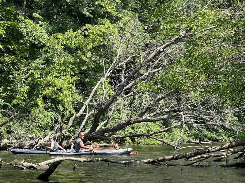
A fallen tree leans over the channel — one of the day's obstacles.
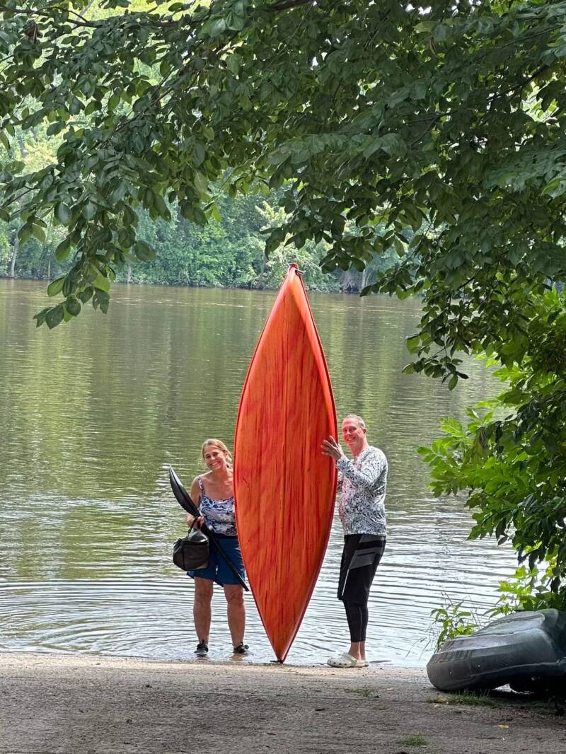
At the take-out, one last look at a well-used kayak.
Our Recommendation: Check the Water Before You Go
Would we recommend the Lower Rogue River during mid-to-late summer?
Based on our experience, not without first checking water levels.
The difference between a river with sufficient flow and one experiencing summer low-water conditions can completely change the character of a paddling trip.
Before attempting this stretch, check the USGS river gauge, recent rainfall, and current conditions. Don't assume that because a river was navigable earlier in the season, it will remain that way in July or August.
Be prepared for exposed rocks, shallow riffles, and the possibility of having to get out and drag your kayak.
For our group of eight, July 20 became less about covering miles and more about working our way through the conditions Mother Nature had given us.
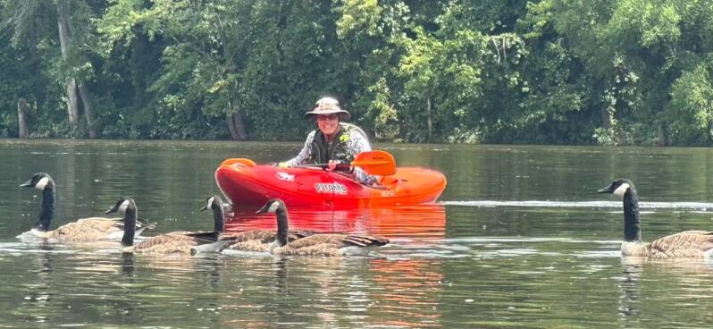
Calmer water near the Grand River, with company.
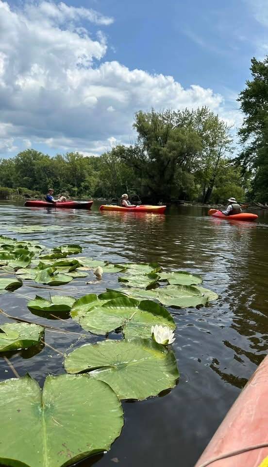
Lily pads and open water on the lower stretch.
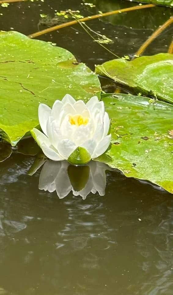
A white water lily along the way.
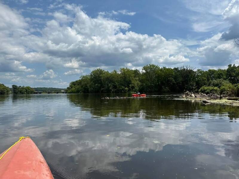
The wide water near the Grand River confluence.
Every River Has a Lesson
Not every adventure delivers the experience we expect. Sometimes the river is flowing perfectly, and sometimes it reminds us that we are guests in a constantly changing environment.
Our Lower Rogue River trip was a good reminder that preparation matters. Checking water levels, understanding seasonal conditions, and knowing when a river isn't suitable for paddling are all part of responsible kayaking.
We made it downstream, gained another river experience, and added one more story to our growing collection of West Michigan adventures.
There are plenty of rivers left to explore. We'll save the Lower Rogue for another day when the water gives us a little more room to paddle.
Wild Rivers. Rugged Trails. Real Adventure.
Brad D. De Young
The Kayaker's Journal
West Michigan Kayaking Club
https://www.westmichigankayakingclub.com
Add comment
Comments