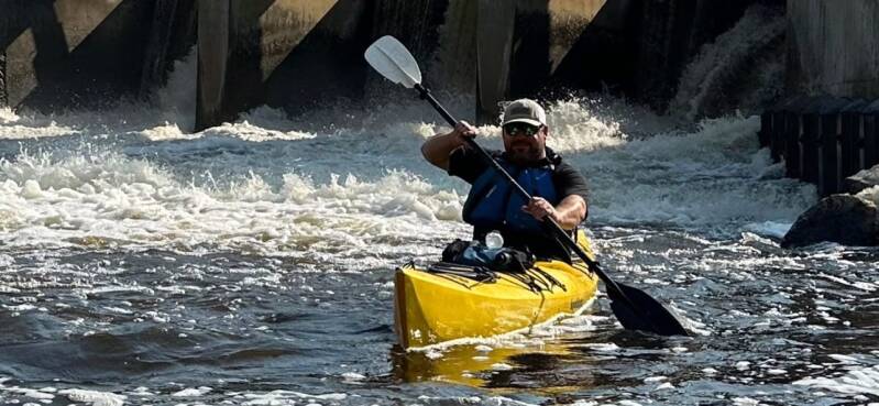
Running the outflow below Morley Dam at the start of the trip.
14 Miles of Downed Trees, Portages, and Determination
August 20, 2023
By Brad De Young | Co-Founder, West Michigan Kayaking Club
Not every river adventure is about covering miles, enjoying a gentle current, and taking in the scenery. Sometimes the river throws obstacles in your path that turn an ordinary paddle into an unforgettable expedition. Our August 20, 2023, trip down the Little Muskegon River was one of those adventures.
Tim Postma, Bill Brad, and I set out to paddle approximately 14 miles from Morley Dam to Dagget Road. What we expected to be a downstream kayaking trip quickly became a test of patience, teamwork, and determination.
The river was running at approximately 3.9 feet according to our trip notes. Although we had enough water to make our way downstream, fallen trees and heavy branches created repeated obstacles along the route.
A River Blocked by Downfall
As we worked our way downstream, we encountered numerous fallen trees stretching across the river. Some sections had already been opened by other paddlers who had used chainsaws to cut passages through the larger timber.
Those openings helped, but new downfall and tangled branches still blocked our progress.
We couldn't simply paddle around everything. At several locations, we had to stop, get out of our kayaks, and figure out the safest way forward.
With a handsaw and hatchet, we spent approximately one hour and 45 minutes clearing branches and opening passages through the new downfall. It was hard, physical work, especially while maneuvering around fallen timber along the riverbank.
Our journey included two portages and several additional pull-overs. Each obstacle required us to assess the situation, move our equipment, and work together to get everyone through.
This was no longer just a kayaking trip. We had become trail-clearing crews working our way down a river.
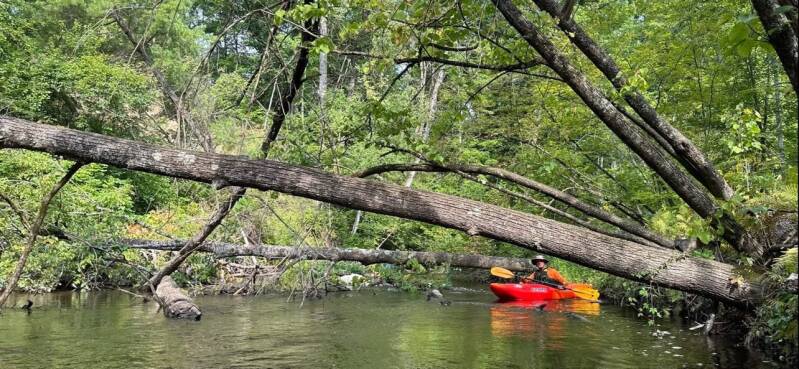
Ducking under one of the day's many fallen trees.
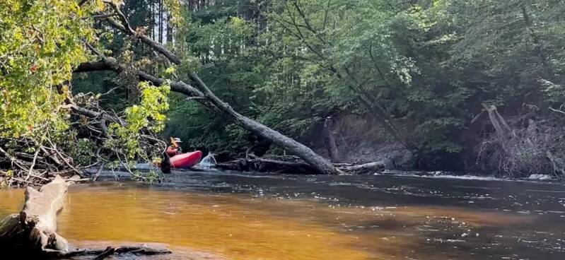
Another downed tree across the channel.
Six Hours on the Water
Between navigating fallen trees, clearing branches, and portaging around obstacles, our progress was considerably slower than a typical downstream paddle.
We eventually stopped for approximately 30 minutes to take a break, rest, and regroup before continuing.
Historical weather information for the surrounding Grand Rapids area indicates a daytime high near 88°F and an overnight low around 63°F, with no measurable precipitation reported.
The warm summer weather made for a pleasant day outside, but the physical effort of dealing with the downfall added another dimension to the adventure.
After nearly six hours, we finally reached our take-out at Dagget Road. We had covered approximately 14 miles, negotiated two portages, completed several pull-overs, and spent nearly two hours clearing branches.
It was a long day, but we had accomplished what we set out to do.

The 30-minute break — snacks earned.
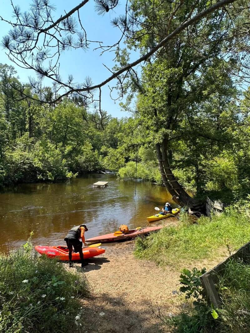
A shaded landing along the route.

The ladder tree — a local landmark on the bank.
Trip Details and River Information
River: Little Muskegon River
Date: August 20, 2023
Put-in: Morley Dam, Michigan
Take-out: Dagget Road, Little Muskegon River
Distance: Approximately 14 miles
Paddlers: Brad De Young, Tim Postma, and Bill Brad
Reported water level: 3.9 feet
Time on river: Nearly 6 hours
Portages: 2
Additional obstacles: Several pull-overs around fallen trees
Time clearing branches: 1 hour and 45 minutes
Rest break: Approximately 30 minutes
Equipment: Handsaw and hatchet
GPS Coordinates
Morley Dam Put-in: 43.485799, -85.446949
Dagget Road Bridge Take-out: The exact access coordinates have not been independently verified. Confirm the bridge and safe public access before launching.
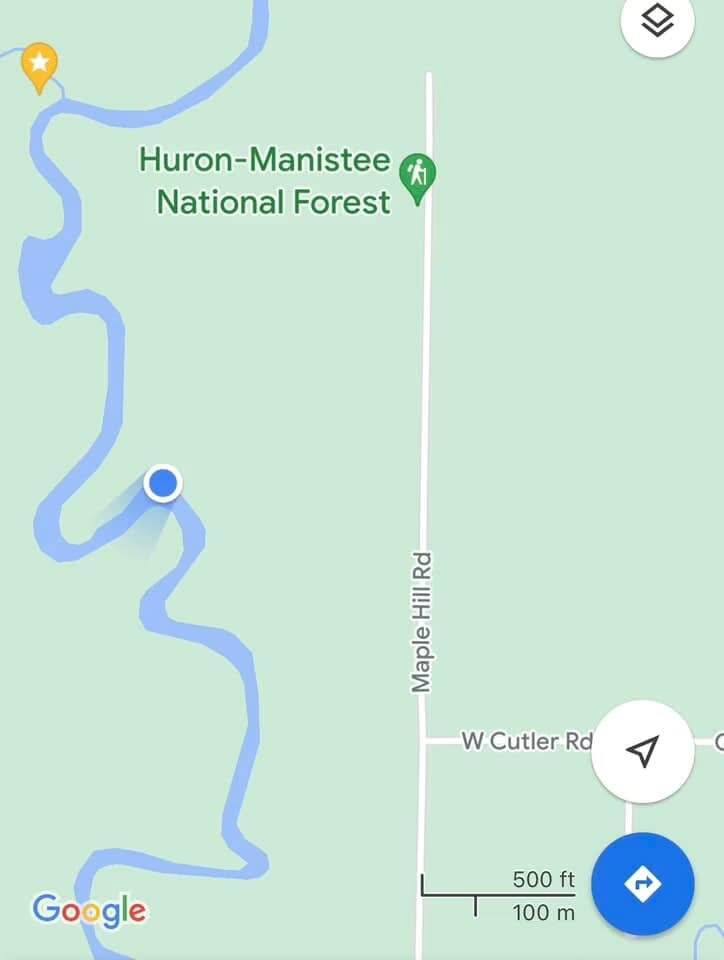
Part of the route, near Maple Hill Road.
River Flow and CFS
The nearest downstream USGS monitoring station with a long-term discharge record is:
USGS Station 04121944 — Little Muskegon River near Oak Grove, Michigan.
The river gauge measures discharge in cubic feet per second (CFS). The exact archived August 20, 2023, discharge reading has not been verified.
The 3.9-foot measurement in our trip notes represents reported water level, not CFS. We have kept those measurements separate rather than publishing an inaccurate flow figure.
USGS River Data: https://waterdata.usgs.gov/

A quiet stretch between obstacles.
Lessons from the River
The Little Muskegon River is a reminder that not every paddling adventure is about distance or speed.
Downed trees and changing river conditions can create significant obstacles, particularly on smaller rivers where fallen timber can completely block the channel.
Before attempting this stretch, paddlers should be prepared for portages, pull-overs, and potentially extensive work around fallen trees. Previous chainsaw clearing does not guarantee that the river will remain open.
Always assess obstacles carefully and never attempt to force a kayak through an unsafe blockage.
Looking back, this was exactly the kind of adventure that makes exploring Michigan's smaller rivers so rewarding. You never quite know what you'll encounter around the next bend.
Fourteen miles. Two portages. Nearly two hours of clearing branches. Almost six hours on the river.
It wasn't an easy paddle, but it was another Michigan river adventure added to the books.
Sometimes the best stories aren't about how quickly you reach the take-out. They're about everything you encounter along the way.
Brad D. De Young
The Kayaker's Journal
West Michigan Kayaking Club
Wild Rivers. Rugged Trails. Real Adventure.
Add comment
Comments